
Gerber Dam and Reservoir
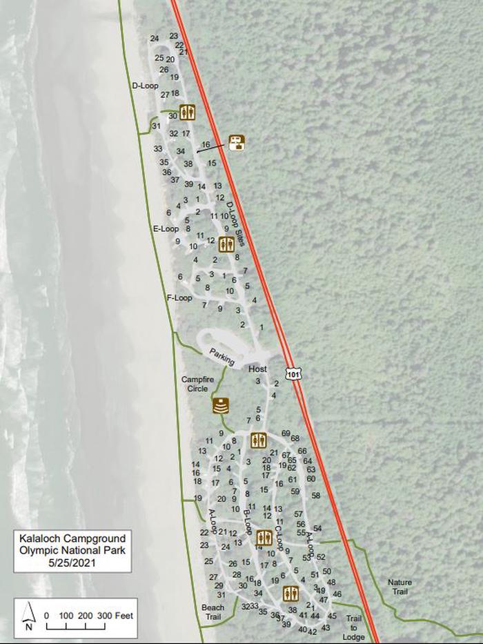
campground map
campground map Campsite A32
Gerber Dam and Reservoir are on Miller Creek 14 miles east of Bonanza, Oregon. The reservoir provides storage for irrigation water and its capacity is 94,000 acre feet with 17 miles of shoreline. The dam, constructed in 1924-1925, is a concrete arch structure with a height of 84 feet and a crest length of 485 feet. The Bureau of Land Management manages the recreation facilities for Reclamation
fire pit surrounded by trees
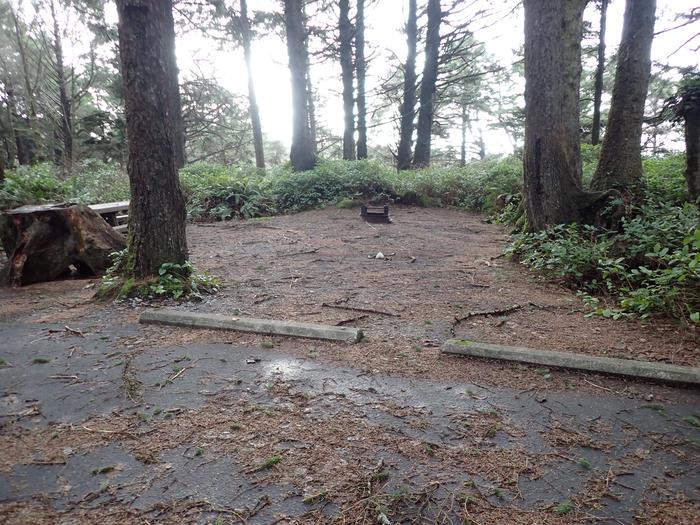
A32- fire ring
fire ring and cleared dirt area covered in pine needles
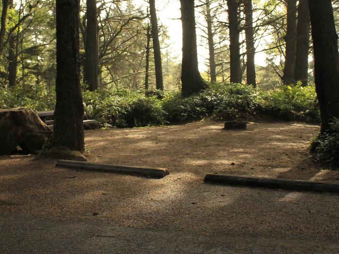
A32- tent area
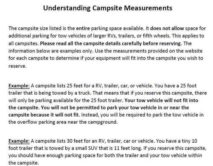
parking info
parking info
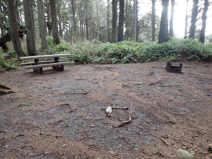
picnic table and fire ring surround by trees
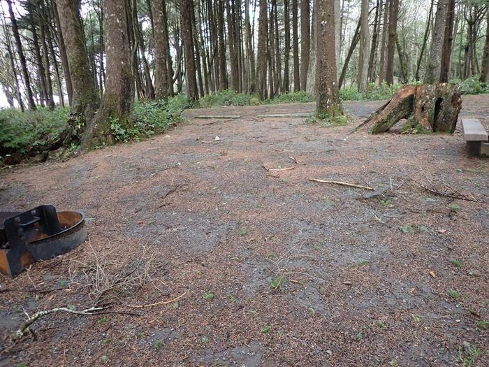
A32- picnic table and fire ring
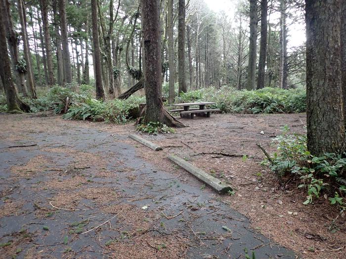
parallel parking area covered in pine needles
A32- parking area (narrow parallel parking, parking shared with neighboring campsite)
campsite and fire pit
Campsite A32
RecAreaDirections
The dam and reservoir are 33 miles southeast of Klamath Falls, OR. Take state route 140 east to 70 through Bonanza.
Open with Google MapMisc
| Stay Limit | |
| Reservable | false |
| Keywords | |
| Map Link | |
| Contact Phone | |
| Contact Email |
Permits info
Facilities
no data available
