
Upper Klamath Lake
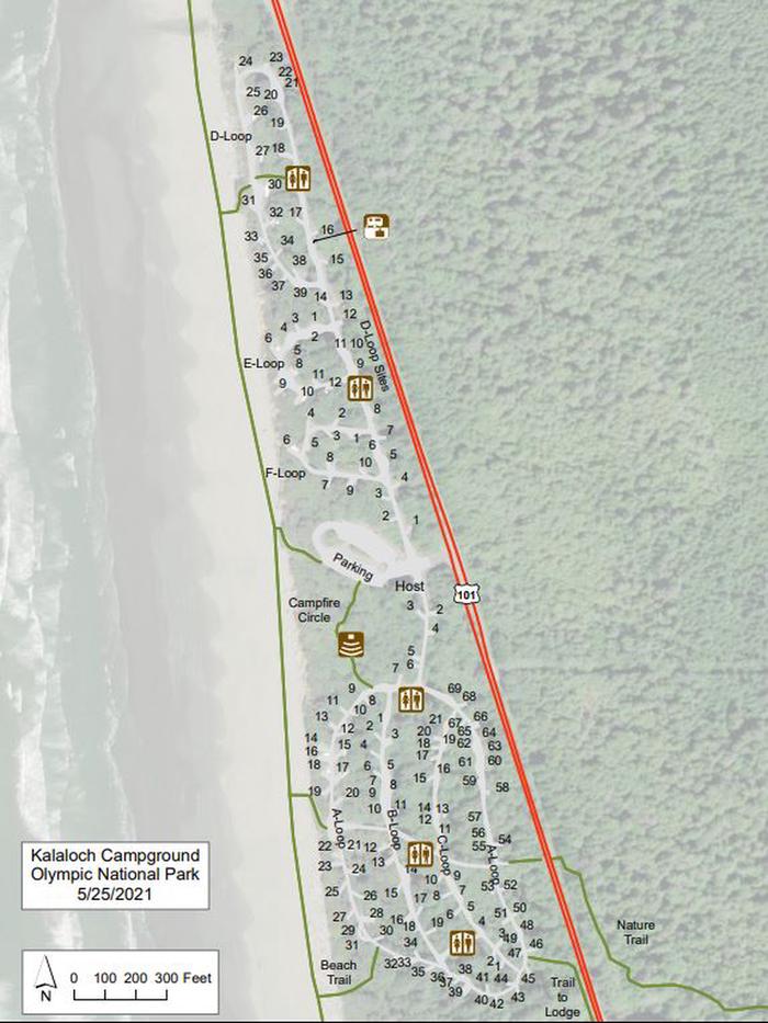
campground map
campground map, Campsite A35
Nearly 30 miles long and up to eight miles wide, Upper Klamath Lake is the largest freshwater body west of the Rockies. It has a surface area of 91,000 acres and 98 miles of shoreline. Recreation facilities are managed for Reclamation by the U. S. Fish and Wildlife Service.
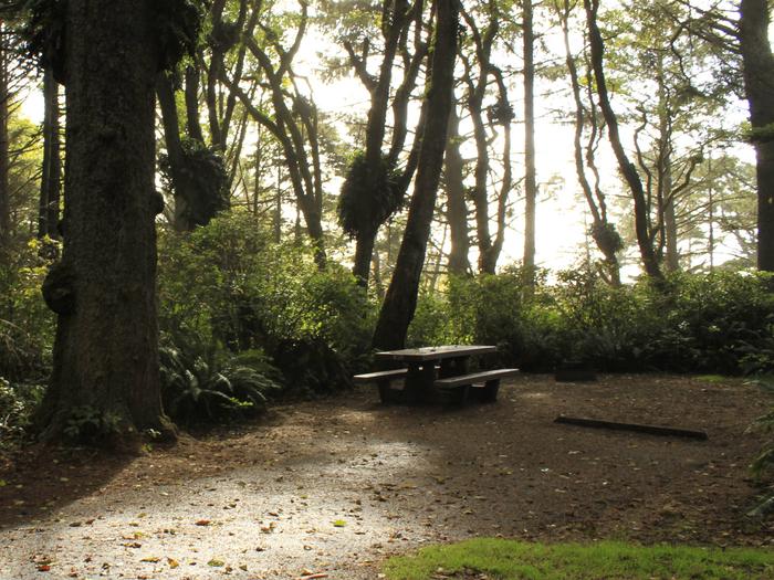
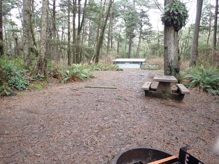
campsite with picnic table.
Campsite A35
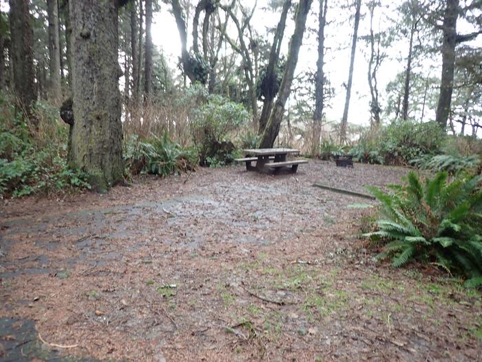
campsite covered in pine needles and leaves
A35 - campsite
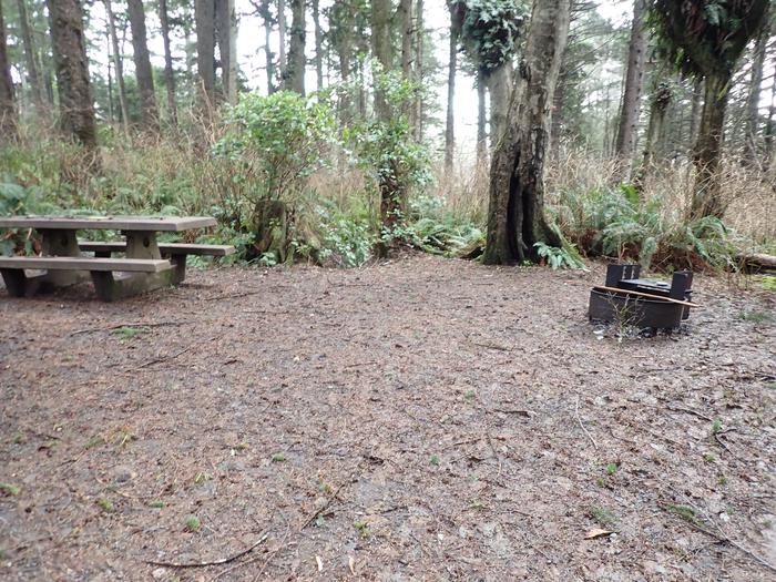
picnic table and fire ring surrounded by trees
A35- table and fire ring
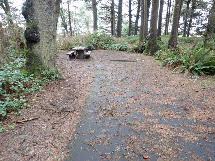
paved parking covered in leaves
A35- parking area
campsite covered in needles and leaves
A35- campsite and parking area
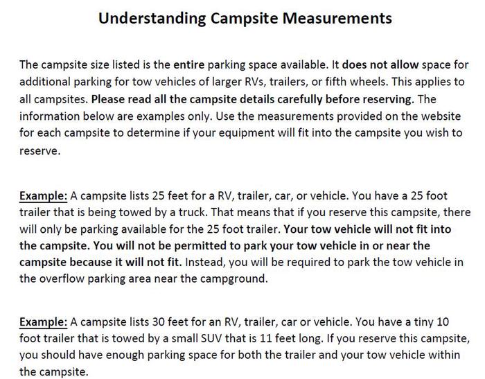
parking info
parking info
RecAreaDirections
Take State route 140 north of Klamath Falls, OR
Open with Google MapMisc
| Stay Limit | |
| Reservable | false |
| Keywords | |
| Map Link | |
| Contact Phone | |
| Contact Email |
Permits info
Facilities
no data available
