
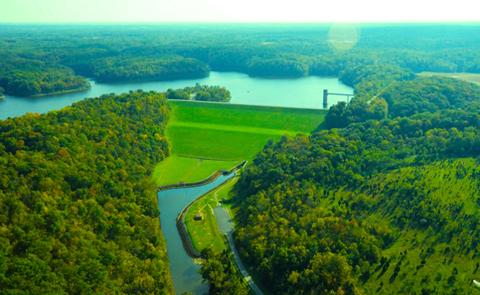
William H. Harsha Lake
William H. Harsha Lake, OH is located on the East Fork of the Little Miami River in Clermont County. In 1869 there were two active gold mines on the project. One, located on the north bank in the vicinity of Elk Lick, consisted of a flume for washing glacial deposits. The other was a tunnel mine in the vicinity of Twin Bridges. East Fork State Park is popular with hikers boasting 85 miles of hiking trails. Horseback riders can enjoy 57 miles of trail. The 2,160 acre lake attracts water enthusiasts of all kinds.

RecAreaDirections
Located southeast of Batavia just south of OH 32, approximately 20 miles southeast of Cincinnati, OH.
Open with Google MapMisc
| Stay Limit | |
| Reservable | false |
| Keywords | |
| Map Link | |
| Contact Phone | |
| Contact Email |
Permits info
Important Information
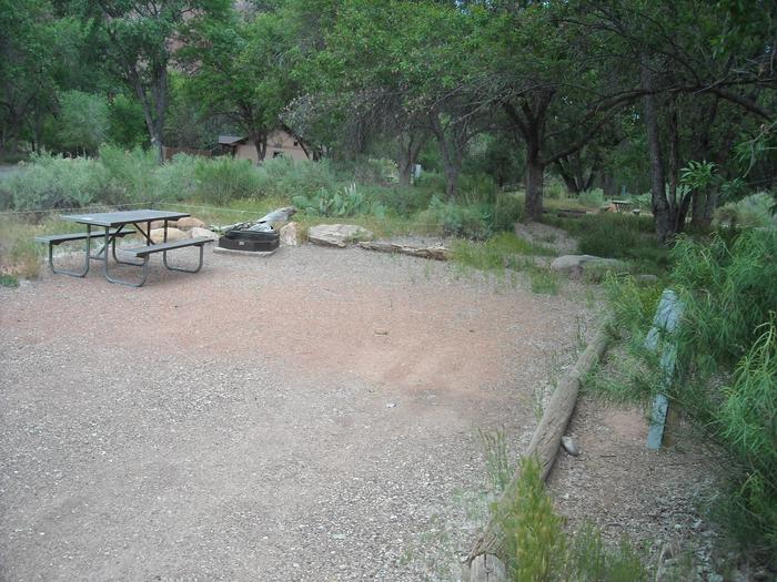
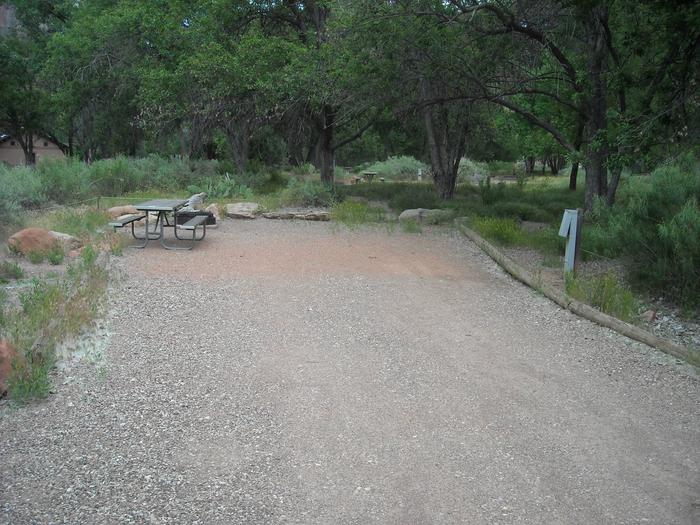
These group sites have bear boxes for food storage.
Facilities
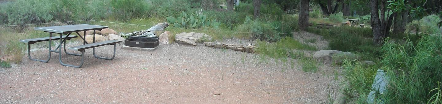
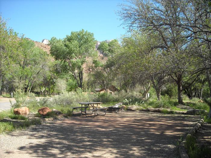
William H Harsha Lake Dam Campground
List of CampsitesOverview
William H. Harsha Lake was authorized under the Flood Control Act of 1938. The Louisville District of the U.S. Army Corps of Engineers designed, built, and operates the project to reduce flood damages downstream from the dam, which is located roughly four miles south of Batavia, Ohio, on the East Fork of the Little Miami River.
Construction began in May 1970 and the lake became fully operational in May 1978. Since its completion, William H. Harsha Lake has prevented more than $87 million in flood damages.
Originally called East Fork Lake because of its location, the lake was renamed in 1981 to honor retired congressman William H. Harsha.
Recreation
Hunting, fishing and trapping are permitted in accordance with applicable federal, state and local laws and regulations. Maps are available at the Corps Office, State Park Office and District Wildlife offices.
Fossil finding is a popular activity in the nearby spillway - please obtain a free permit from the Visitor Center.
Facilities
The Visitor Center is located one-half mile beyond the main dam on Slade Road. It offers interpretive displays, a scenic overlook and a natural trail. Special programs are available to schools and organizations. For information, please call (513) 797-6081.
Natural Features
In 1869, there were two gold mines within what is now the William H. Harsha Lake project boundaries. One, located on the north bank in the vicinity of Elk Lick Road, consisted of a flume for washing glacial deposits. The other was a tunnel mine in the vicinity of Twin Bridges Road. Both are now under water.
Nearby Attractions
The "Old Bethel Church," located approximately one mile of Bantam on Park Road #1, was built in 1818. It occupies the site of a log cabin church founded around 1897 by Rev. John Collins.
The East Fork State Park & Watercraft Office is located approximately 3 miles southeast of W.H. Harsha Dam, on Bantam Road. The park offers a full range of development for recreation, including camping, fishing, boating, hunting, picnicking, and swimming. For park information or boating registration information, please call (513) 734-2730.
Greenbrier Facility
This recreation area is part of William H. Harsha Lake
