
Laurel River Lake
Electric site
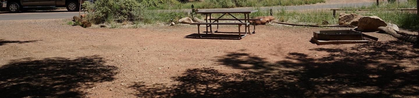
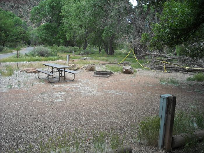
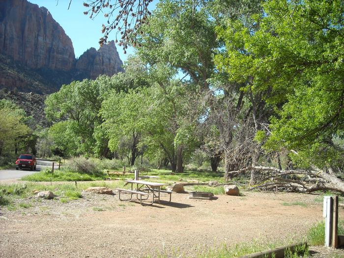
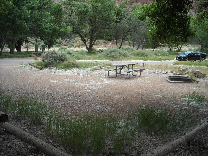
B33
Laurel River Lake is situated within the boundaries of the Daniel Boone National Forest. The Sheltowee Trace National Recreation Trail passes through the Laurel damsite.

B33 3
B33
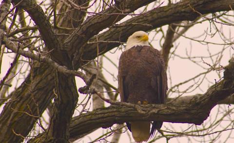
Wildlife in Action
B33 1
B33
Electric Site
B33
B33 2
B33
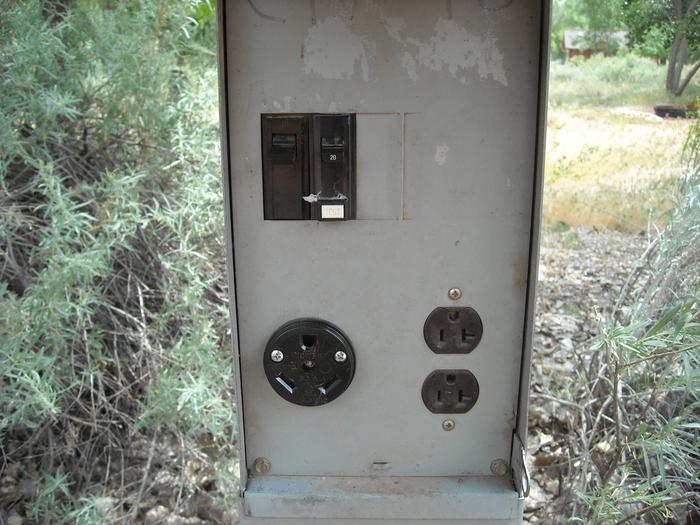
Outlet
Outlet
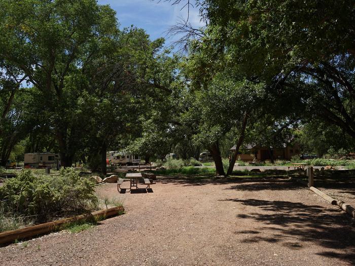
Campsite area
B33
RecAreaDirections
From London, KY, 20 mi E on KY 192 to KY 1193.
Open with Google MapMisc
| Stay Limit | |
| Reservable | false |
| Keywords | |
| Map Link | |
| Contact Phone | |
| Contact Email |
Permits info
Important Information
Water is available from the lakes and streams. In early summer, snow is usually present and the surfaces of the lakes maybe partially frozen. This campsite maybe snow covered in early summer, If you plan an early season trip be prepared to camp on snow.
Facilities
Laurel River Lake Picnic Area Campground
List of CampsitesOverview
Laurel River Lake Picnic Area is a day-use facility located on a peninsula along the shores of Laurel River Lake. The picnic area provides 19 individual picnic sites which are first-come, first-serve, and two reservable shelters. There is no overnight camping allowed in the area.Click here for the Laurel River Lake Picnic Area virtual tour.
Recreation
Laurel River Dam was completed in 1974 creating a 5,600-acre lake which provides hydroelectric power, safe drinking water and recreation opportunities for the public. Since its impoundment, the Forest Service and the Army Corps of Engineers have cooperated in developing public recreation facilities on and around the lake.Facilities
Laurel River Lake Picnic Area offers one small and one large reservable group picnic shelter, with 19 additional picnic sites with tables and grill. port-a-potties, drinking water, playground, horseshoe pit, fishing pier and a volleyball net are also provided.
