
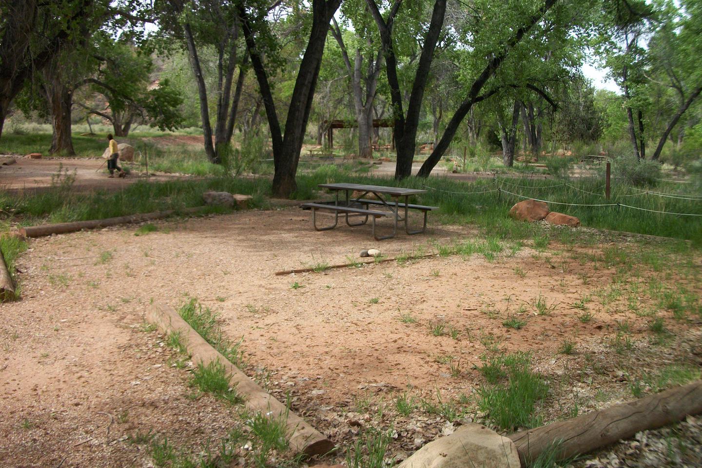
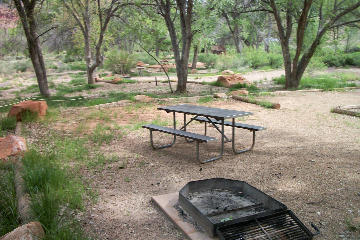
Chena River Lakes
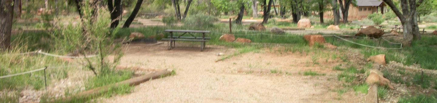
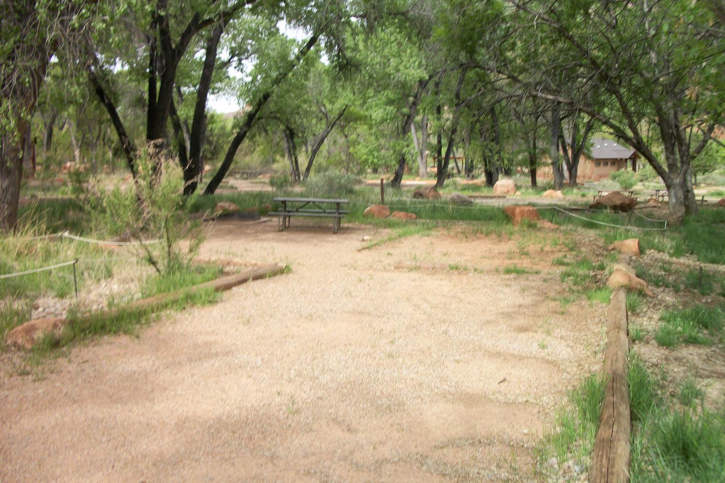
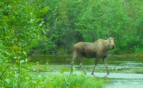
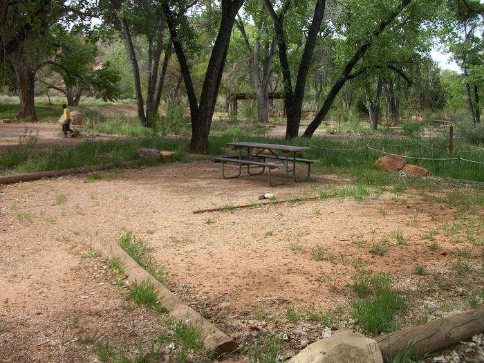
The Chena Project offers a host of recreational opportunities and a variety of Alaskan scenery to enjoy throughout the year. Watch our abundant wildlife, catch a fish, explore our trails or simply enjoy the Project in your own way; whether it be under the Midnight Sun or the Northern Lights.
RecAreaDirections
From Fairbanks, 17 miles east on Richardson Hwy.
Open with Google MapMisc
| Stay Limit | |
| Reservable | false |
| Keywords | |
| Map Link | |
| Contact Phone | |
| Contact Email |
Permits info
Direction
Leave Hwy 395 at Hwy 203 to the town of Mammoth Lakes. Turn right on Minaret Road and go to Mammoth Mountain Adventure Center (Main Lodge) for long term parking and to board the mandatory shuttle to the trailhead. Shuttle stop #1 is Agnew Meadows.
Important Information
DOWNLOAD AREA MAP FOR THIS TRAIL:Click Here.
River Trail Area:
- No campfires at thousand Island Lake, Garnet, Ruby, Emerald, Badger or Clark Lakes; and no campfires above 10,000 ft. look at USFS Webpage for campfire restriction maps.
- No Camping within 300 ft of the outflow of Thousand Island Lake or Garnet Lake.
- Bear containers are required for storage of food and trash.
- All visitors to Reds Meadow Valley pay a transportation fee which allows use of the mandatory shuttle bus. Call Mammoth Lakes Welcome Center for more shuttle information. (760)924-5500.
- The River Trail does not access the John Muir Trail until Garnet Lake or Thousand Island Lake. Check the area map for the correct trail name. Trips going toward Shadow Creek, or the High Trail- PCT are a different reservation.
- Spur trail from River trail to Garnet Lake is not recommended for stock.
- Ansel Adams Wilderness regulations apply.
- Yosemite wilderness regulations apply if entering the National Park.
- Deadline: Reservation will be canceled unless the permit pick up instructions are completed before the deadline. Instructions are in the confirmation letter.
- Only the group leader or alternate leader may pick up the permit; the person picking up the permit must be going on the wilderness trip.
- BE SURE YOUR DATES AND TRAIL ARE CORRECT - The entire group must start on the trail on the entry date listed. Reservations cannot be changed or transferred
USFS Webpage for: River Trail.
Long Description
Starting from Agnew Meadows (shuttle bus stop #1), the River Trail follows the Middle Fork of the San Joaquin River to its headwaters. The River Trail and Shadow Lake Trail are combined from Agnew Meadows to a trail junction about 3 miles upstream, where the trails split and the River Trail continues to follow the river. At Thousand Island Lake, the trail joins the John Muir Trail. Water crossings may be high during spring snow melt. This is an active bear area so you must use bear resistant food containers to secure your food and refuse. Other area trails have separate quotas, refer to the area map for trail names.
Facilities
Chena River Park Facility
This recreation area is part of Chena River Lakes
Chena Lakes Recreation Area Facility
This recreation area is part of Chena River Lakes
