
Okatibbee Lake
Okatibbee Lake is an 11,000-acre multi-purpose project. The Corps of Engineers maintains one full service campground; four day use parks with three designated swimming areas and four boat ramps. Also, Okatibbee Lake offers excellent hunting opportunities. Presently there are 6,900 acres of land and flooded woodlands leased to the Mississippi Department of Wildlife, Fisheries and Parks for hunting and wildlife viewing.
RecAreaDirections
Located 8 miles north of Meridian, MS on State Highway 19.
Open with Google MapMisc
| Stay Limit | |
| Reservable | false |
| Keywords | |
| Map Link | |
| Contact Phone | |
| Contact Email |
Permits info
Direction
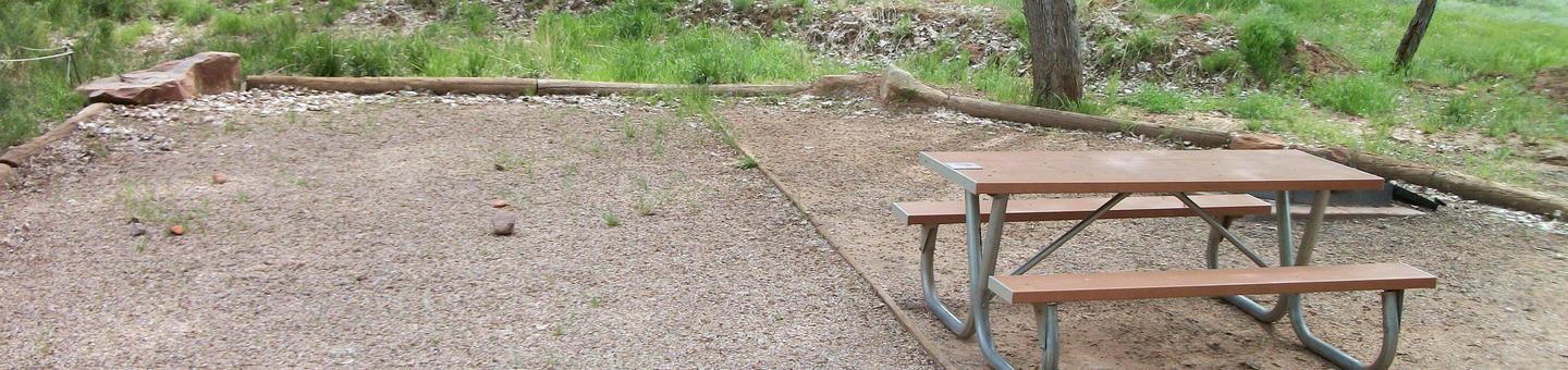
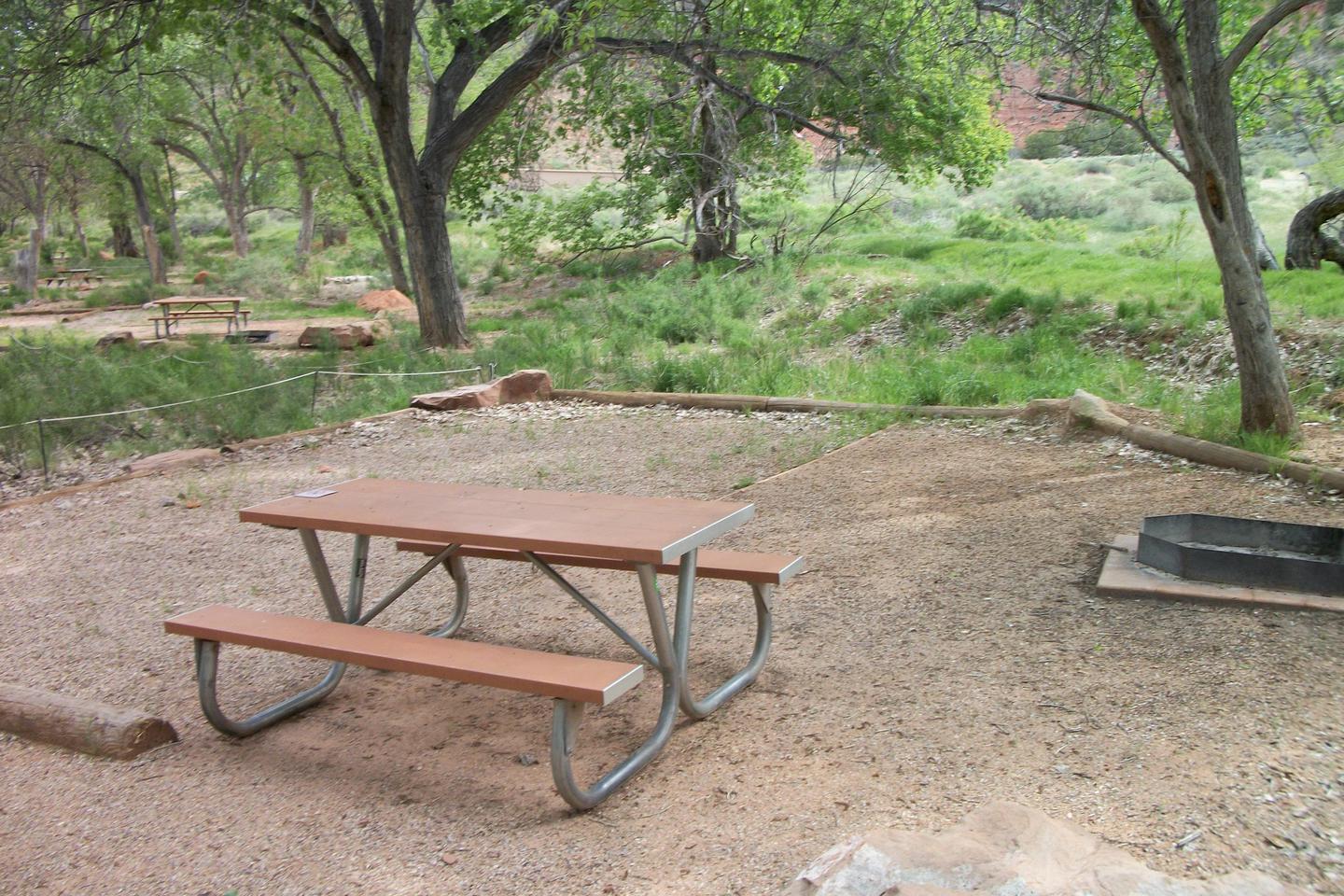
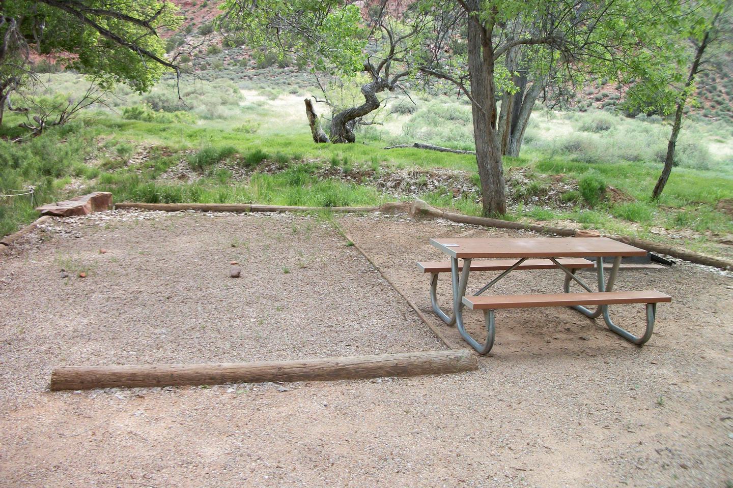
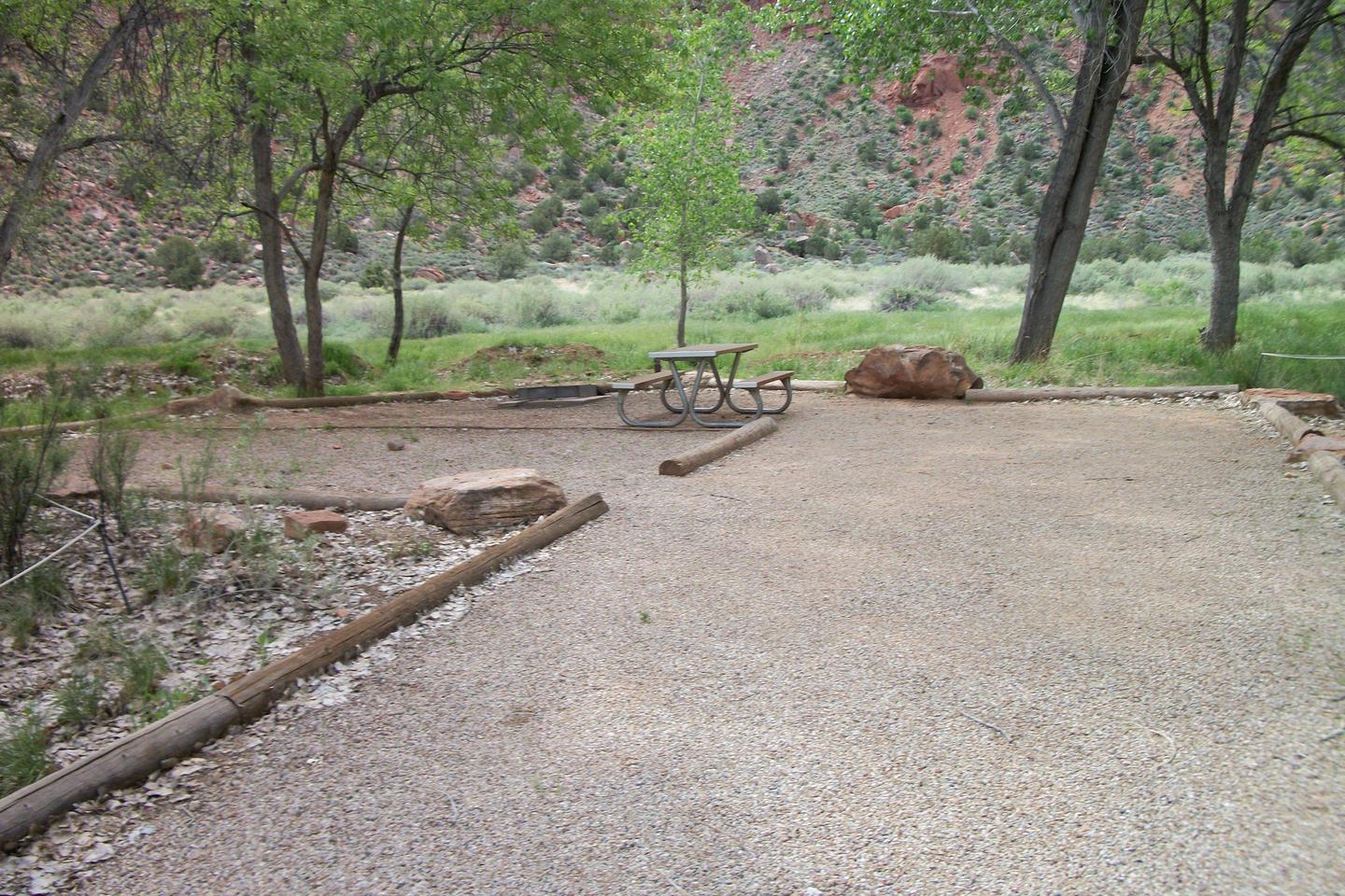
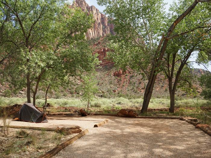
Leave Hwy 395 at the north end of Lake Crowley. Turn onto McGee Creek Road and drive until the road ends. The last mile is dirt. Paved parking, pit toilet and picnic tables near the aspen shaded creek.
Important Information
DOWNLOAD AREA MAP FOR THIS TRAIL:Click Here.
McGee Pass Area:
- No campfires. Look at USFS Webpage for campfire restriction maps.
- Food and refuse must be stored so that animals cannot get into the food or trash.
- Check the area map for the correct trail name. There are other McGee Creeks in Inyo National forest that are a different reservation.
- John Muir Wilderness Regulations Apply.
- Deadline: Reservation will be canceled unless the permit pick up instructions are completed before the deadline. Instructions are in the confirmation letter.
- Only the group leader or alternate leader may pick up the permit; the person picking up the permit must be going on the wilderness trip.
- BE SURE YOUR DATES AND TRAIL ARE CORRECT The entire group must start on the trail on the entry date listed. Reservations cannot be changed or transferred
USFS Webpage for: McGee Pass.
Long Description
Abundant wildflowers mixed with sage fill the lower part of McGee Canyon on the way to Horsetail Falls. Water crossings may be high during spring snow melt. As the canyon turns west and climbs into aspen and lodgepole pine, side trails lead to Steelhead Lake and Baldwin Canyon. Farther up the canyon are Big McGee and Little McGee Lakes. Crossing over McGee Pass leads to Horse Heaven and Tully Hole on the John Muir Trail.
Facilities
TWILTLEY BRANCH Campground
List of CampsitesOverview
Twiltley Campground is the only full-service campground managed by the Corps of Engineers at Okatibbee Lake, a 11,000 acre multi-purpose recreation area in eastern Mississippi.Recreation
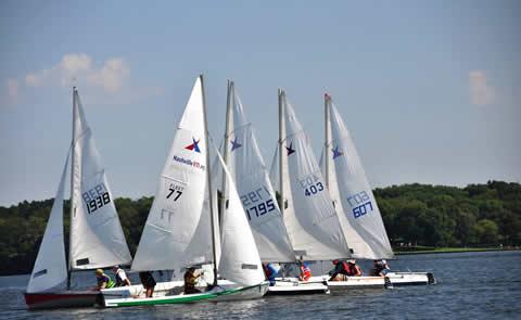
With eagles and hawks in the area, families will enjoy keeping an eye out for these magnificent birds.Water sports including fishing and water skiing are always popular on the lake; however, fishing from the banks also yields a good amount of crappie, bass and bream.
Facilities
With four boat ramps and three designated swimming areas, there's plenty of ways to enjoy the lake shore. Many sites have electric hookups and there's a pay phone onsite. Pets are allowed on a six (6) foot or shorter leash.Natural Features
Okatibbee Lake boasts 4,000 acres of water surface in the Pascagoula River Basin. Extensive beaver flowages, stump beds and old creek channels provide abundant cover where anglers battle largemouth bass and crappie. Summers are hot and humid, with temperatures ranging from 70 to 98 degrees Fahrenheit.
Nearby Attractions
Explore Chicasawhay and Okatibbee Creeks upstream of the lake. The creeks flow through the Okatibbee State Wildlife Area.Water Park Facility
This recreation area is part of Okatibbee Lake
Cove's Nest Marina Facility
This recreation area is part of Okatibbee Lake
