
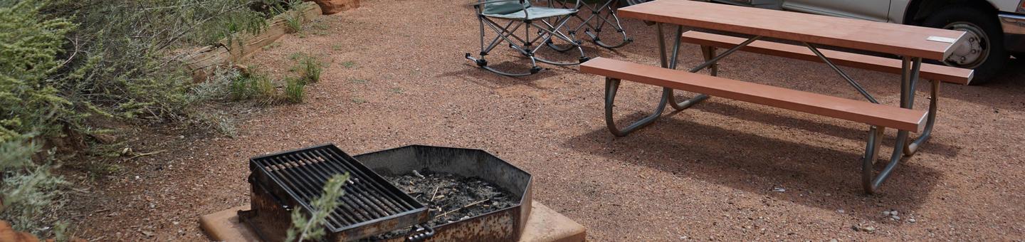
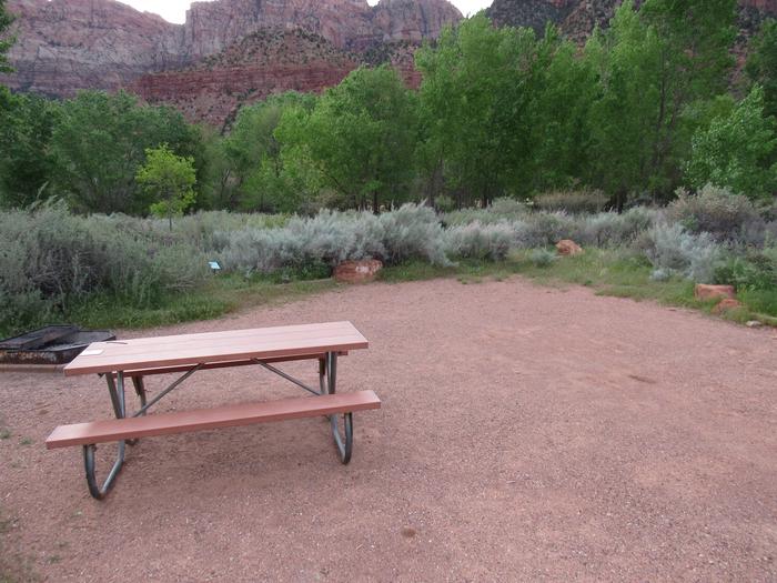
George W. Andrews Lake
Lake George W. Andrews is named for George William Andrews, who was born in Clayton, Alabama in 1906 and served as a United States Representative from 1944 until his death in 1971. The project was originally named the Columbia Lock and Dam and was renamed for Congressman Andrews in 1972. Lake George W. Andrews day use parks include: Abbie Creek Park and West Bank Park located on the Alabama side, and Coheelee Creek Park located on the Georgia side.


RecAreaDirections
In Dothan take 431 north to Abbeville (27 miles). In Abbeville take Hwy. 10 East to Ft. Gaines, GA. In Ft. Gaines take Hwy 39 north, go 2 miles. ACF/Walter F. George Resource Site building is on the left.
Open with Google MapMisc
| Stay Limit | |
| Reservable | false |
| Keywords | |
| Map Link | |
| Contact Phone | |
| Contact Email |
Permits info
Direction
From Bishop go north on Hwy 395 to Toms Place.Follow Rock Creek Road to Mosquito Flat, and the end of the road where there is paved hiker parking.
Important Information
DOWNLOAD AREA MAP FOR THIS TRAIL:Click Here.
Little Lakes Valley Area:
- No campfires anywhere in this valley.
- Bear containers are required for storage of food and trash.
- Check the area map for the correct trail name. Trips going toward Mono Pass are a different reservation.
- This area is near Bighorn Sheep habitat. Use of pack goats is not advised in order to protect the health of the wild sheep.
- John Muir Wilderness Regulations Apply.
- Deadline: Reservation will be canceled unless the permit pick up instructions are completed before the deadline. Instructions are in the confirmation letter.
- Only the group leader or alternate leader may pick up the permit; the person picking up the permit must be going on the wilderness trip.
- BE SURE YOUR DATES AND TRAIL ARE CORRECT The entire group must start on the trail on the entry date listed. Reservations cannot be changed or transferred
USFS Webpage for: Little Lakes Valley.
Long Description
Easy access to a beautiful chain of lakes make Little Lakes Valley popular for fishing, day hikes and beginning backpackers. Glaciers carved this extensive chain of lakes, both large and small. Wildflowers bloom in the high elevation framed by the spectacular 13,000-foot peaks of Bear Creek Spire, Mt Dade, Mt. Abbot and Mt. Mills. Some evidence of historical mining equipment can be seen, along with an old road bed at Morgan Pass. This is an active bear area so you must use bear canisters to secure your food and refuse. Day hiking does not need a permit. Separate quotas apply to other area trails, including the Mono Pass Trail. Refer to the area map for trail names.
Facilities
no data available
