
Cape Fear River
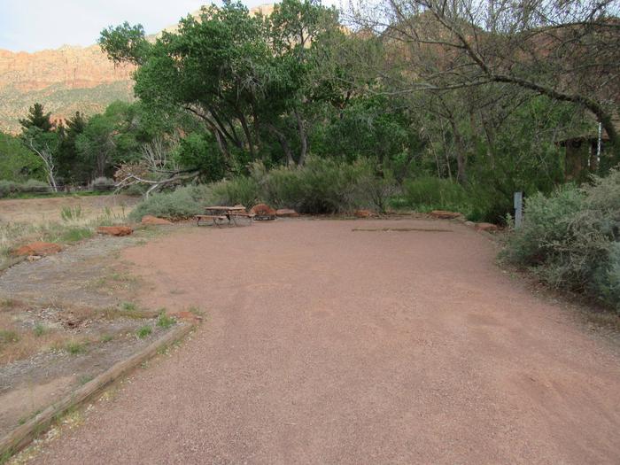
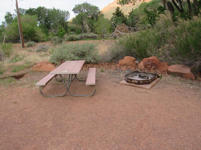
Located in the tobacco country of eastern North Carolina on the improved channel between Wilmington and Fayetteville, the facilities are equipped for day-use, boating and picnicking. Shad fishing is popular, but swimming and camping are not permitted.


RecAreaDirections
Open with Google Map
Misc
| Stay Limit | |
| Reservable | false |
| Keywords | |
| Map Link | |
| Contact Phone | |
| Contact Email |
Permits info
Direction
FromBig Pine, go west on Crocker Ave. which becomes Glacier Lodge Rd. Turn left onto McMurry Meadows dirt road(4x4 wd recommended for this dirt road if you are going beyond McMurry Meadows). Trail starts from road9S03AM.
Important Information
DOWNLOAD AREA MAP FOR THIS TRAIL:Click Here.
Birch Lake Area: Special approval required for commercial use. The trail is not recommended for stock 1/3 mile below Birch Lake.
- No campfires above 10,400 ft.
- Food and refuse must be stored so that animals cannot get into the food or trash.
- John Muir Wilderness regulations apply.
- Deadline: Reservation will be canceled unless the permit pick up instructions are completed before the deadline. Instructions are in the confirmation letter.
- Only the group leader or alternate leader may pick up the permit; the person picking up the permit must be going on the wilderness trip.
- BE SURE YOUR DATES AND TRAIL ARE CORRECT - The entire group must start on the trail on the entry date listed. Reservations cannot be changed or transferred.
USFS Webpage for: Birch Lake.
Long Description
This steep trail starts by following an old jeep road that heads west from McMurry Meadows. The trail stays on the north side of Birch Creek as it climbs into the broad valley north of Birch Mountain until it crosses the stream just below Birch Lake.
Facilities
no data available
