
Santa Fe Dam
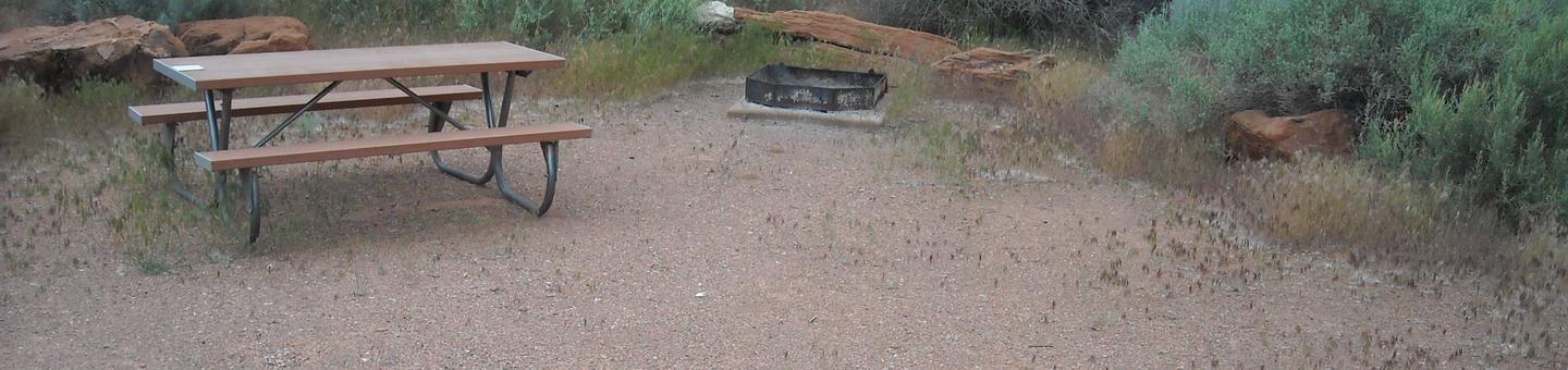
Facilities at Santa Fe are operated by Los Angeles County Parks. Swimming, fishing, non-power boating, hiking and picnicking are available. Of interest are the five distinct biological communities within the area. They represent the last vestige of a complex plant life system that was important to the Indians and early settlers.

RecAreaDirections
Located at the junction of I-210 and I-605 in the City of Irwindale.
Open with Google MapMisc
| Stay Limit | |
| Reservable | false |
| Keywords | |
| Map Link | |
| Contact Phone | |
| Contact Email |
Permits info
Direction
From Highway 395, approximately 3 miles north of Independence turn onto Fish hatchery Rd. Follow signs to roads end.
Important Information
DOWNLOAD THE AREA MAP FOR THIS TRAIL:Click Here.
Baxter Pass Area: Special approval required for commercial use. This trail is not recommended for stock.
- No campfires above 10,400 ft.
- Food and refuse must be stored so that animals cannot get into the food or trash.
- This area is near Bighorn Sheep habitat. Use of pack goats is not advised in order to protect the health of the wild sheep.
- John Muir Wilderness regulations apply.
- Sequoia and Kings Canyon wilderness regulations apply if entering the National Park. (includes Cross Country travel to Gardner Basin / Sixty Lakes areas; no night box permit pickup)
- Deadline: Reservation will be canceled unless the permit pick up instructions are completed before the deadline. Instructions are in the confirmation letter.
- Only the group leader or alternate leader may pick up the permit; the person picking up the permit must be going on the wilderness trip.
- BE SURE YOUR DATES AND TRAIL ARE CORRECT - The entire group must start on the trail on the entry date listed. Reservations cannot be changed or transferred.
USFS Webpage for: Baxter Pass.
Long Description
The Baxter Pass Trail is steep and rugged. Starting near Oak Creek Campground, this trail provides access to Kings Canyon National Park after climbing more than 6,000 feet to reach the Sierra Crest. It pays to be fit and start early for this pass. This trail is not recommended for stock.
Facilities
no data available
