Mojave River Dam

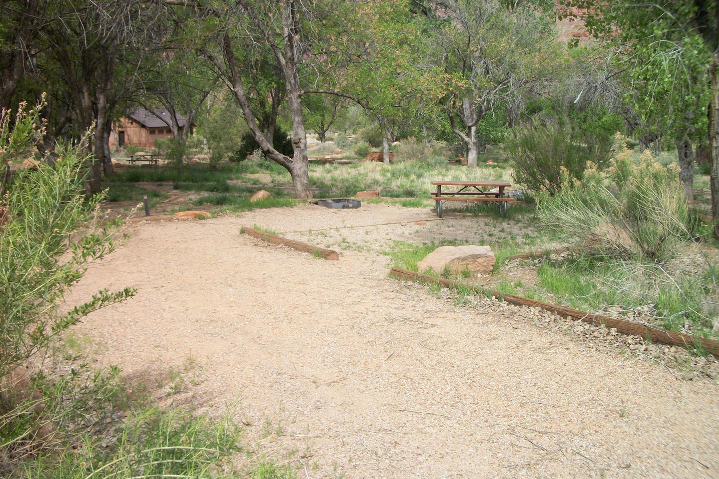
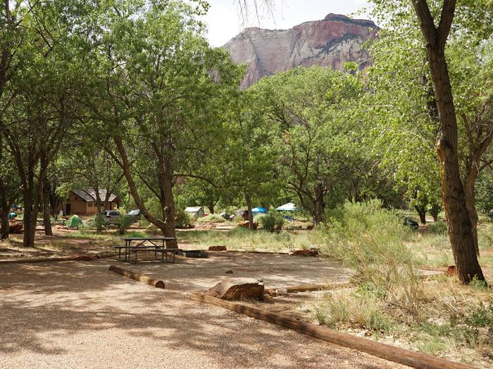
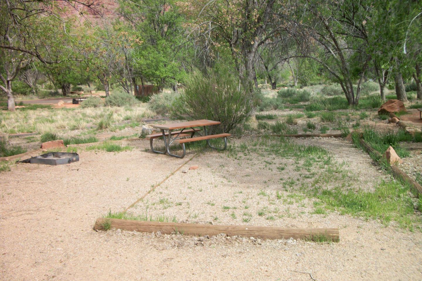
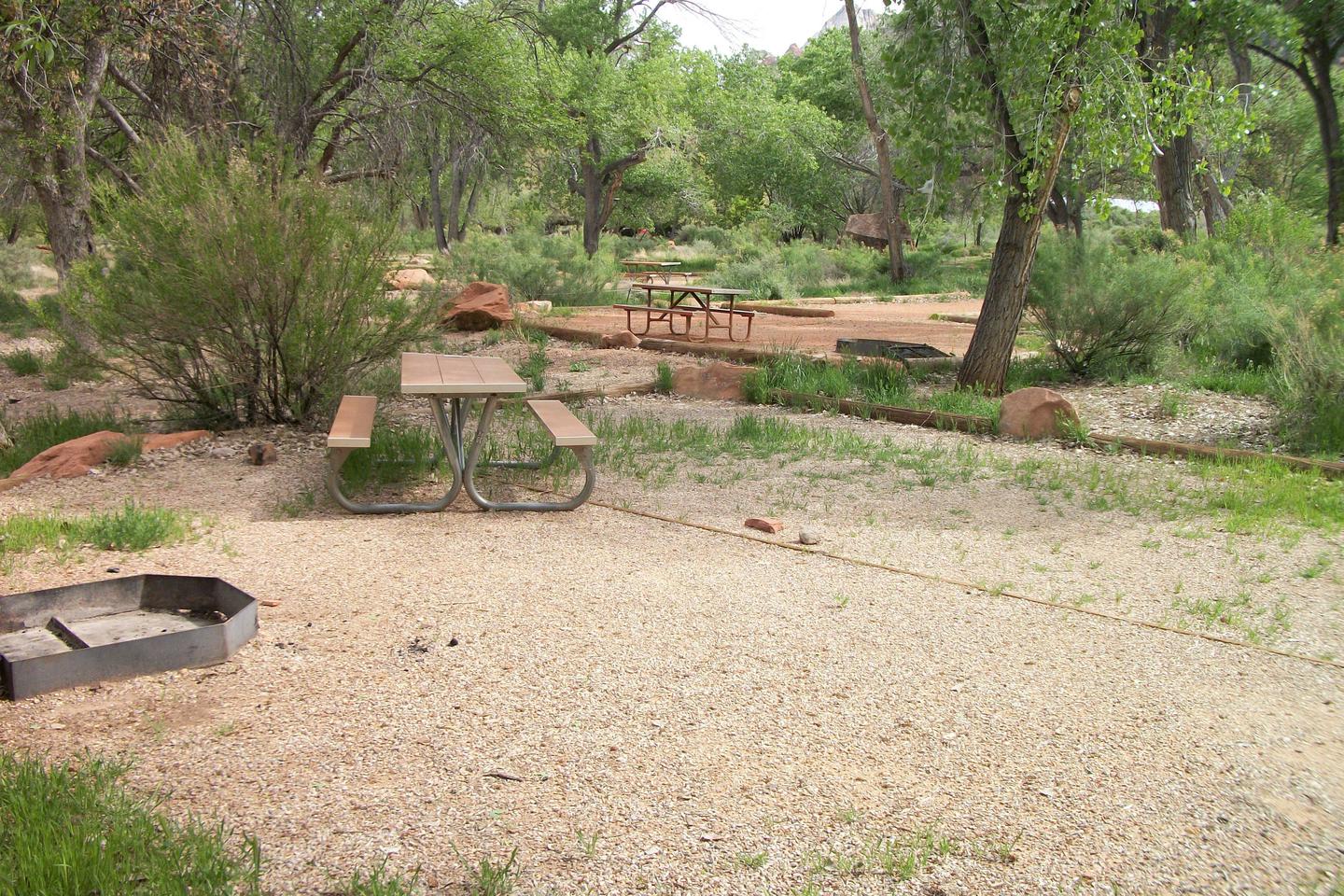
San Bernardino County Parks manages this project in the high desert wilderness at the foot of the San Bernardino Mountains. No permanent pool, but camping and picnicking facilities are available. Access to the Pacific Crest Trail. Silverwood Lake State Recreation Area is nearby.
RecAreaDirections
Near Hesperia, 15 miles east of I-15 via CA 138 and 173.
Open with Google MapMisc
| Stay Limit | |
| Reservable | false |
| Keywords | |
| Map Link | |
| Contact Phone | |
| Contact Email |
Permits info
Direction
From U.S. Highway 395, turn west on Market Street in downtown Independence, CA. The trailhead is about 15 miles west of Independence, at Onion Valley.
Important Information
DOWNLOAD AREA MAP FOR THIS TRAIL:Click Here.
Kearsarge Pass Area:
- No campfires.
- No Camping at Bullfrog Lake.
- Bear containers are required for storage of food and trash.
- Check the area map for the correct trail name. Trips going toward Golden Trout Lakes are a different reservation.
- John Muir Wilderness regulations apply.
- Sequoia and Kings Canyon wilderness regulations apply if entering the National Park.(includes no night box permit pickup; no pets; Cross Country permit type for Sphinx Creek and Brewer Range, Sixty Lakes and Gardner Basin areas)
- Deadline: Reservation will be canceled unless the permit pick up instructions are completed before the deadline. Instructions are in the confirmation letter.
- Only the group leader or alternate leader may pick up the permit; the person picking up the permit must be going on the wilderness trip.
- BE SURE YOUR DATES AND TRAIL ARE CORRECT - The entire group must start on the trail on the entry date listed. Reservations cannot be changed or transferred
USFS Webpage for: Kearsarge Pass.
Long Description
The Kearsarge Pass Trail begins at Onion Valley and passes through forests andalpine tundra as it climbs past several lakes including Little Pothole, Gilbert, and Flower Lakes on its way to 11,700-foot Kearsarge Pass. The trail continues into Kings Canyon National Park and joins the John Muir Trail near Bullfrog Lake. There is no camping at Bullfrog Lake. Separate quotas apply to other area trails. Please refer to the area map for trail names.

 CuteCamper
