
Carbon Canyon Dam
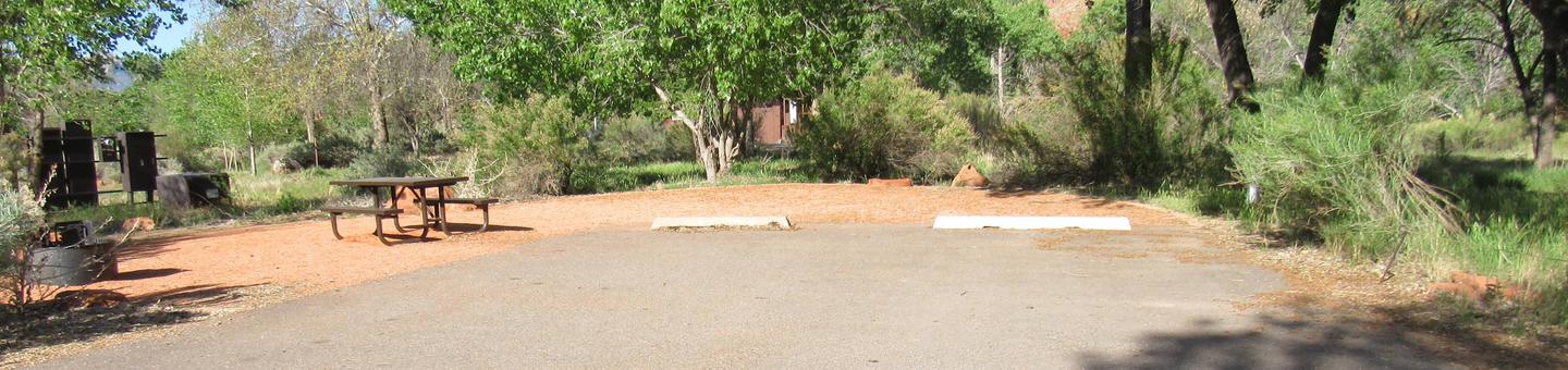
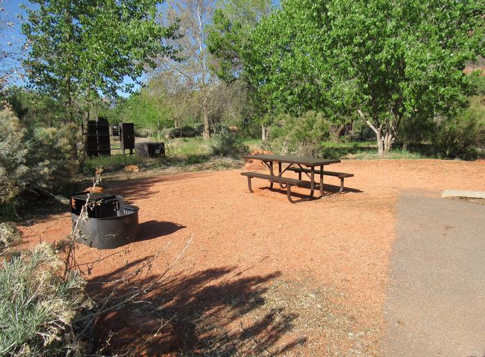
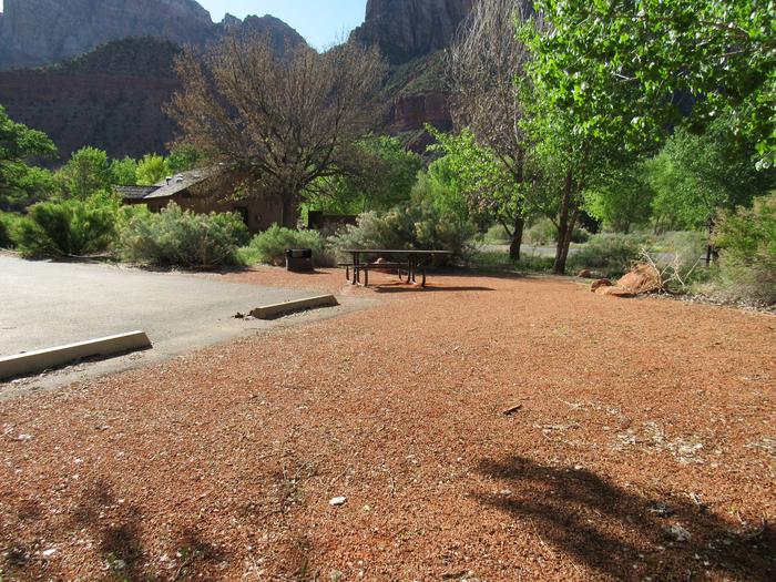
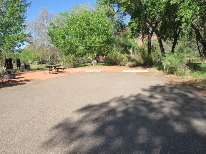
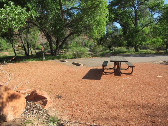
Managed by Orange County, there is no permanent pool, but varied facilities such as fishing, picnic areas, a nature trail, and tennis. The site of the historic oil boom town of Olinda. Adjoins Chino Hills State Park.
RecAreaDirections
Located on Carbon Canyon Road (SR42), about 5 miles east of the I-57 Freeway.
Open with Google MapMisc
| Stay Limit | |
| Reservable | false |
| Keywords | |
| Map Link | |
| Contact Phone | |
| Contact Email |
Permits info
Direction
From Independence, CA turn west on Market Street. Travel 4.3 miles to Foothill Rd. Turn south on Foothill Rd and travel 2.8 miles to the Shepherd Pack Trailhead. Approximately 1/2 mile past the stock trailhead, turn west on a small, rough dirt road. Follow the main track approximately 1.3 miles to the Shpeherd Pass trailhead.
Important Information
DOWNLOAD AREA MAP FOR THIS TRAIL:Click Here.
Shepherd Pass Area:
- No campfires at Anvil Camp; No campfires above 10,400ft.
- Food and refuse must be stored so that animals cannot get into the food or trash.
- Due to the snow, steep terrain and talus, the Shepherd Pass trail may be impassable to stock above about 10,800 feet.
- This area is near Bighorn Sheep habitat. Use of pack goats is not advised in order to protect the health of the wild sheep.
- John Muir Wilderness Regulations Apply
- Sequoia and Kings Canyon wilderness regulations apply if entering the National Park. (includes no night box permit pickup; no pets; Cross Country permit type for Sphinx Creek and Brewer Range area)
- Deadline: Reservation will be canceled unless the permit pick up instructions are completed before the deadline. Instructions are in the confirmation letter.
- Only the group leader or alternate leader may pick up the permit; the person picking up the permit must be going on the wilderness trip.
- BE SURE YOUR DATES AND TRAIL ARE CORRECT The entire group must start on the trail on the entry date listed. Reservations cannot be changed or transferred
USFS Webpage for: Shepherd Pass.
Long Description
Starting along Symmes Creek, the Shepherd Pass trail climbs a demanding 6,000 feet from the valley floor to the 12,000-foot Shepherd Pass where it crosses the Sierra Crest. Descending into Sequoia and Kings Canyon National Parks the trail continues to the Tyndall Creek junction of the John Muir Trail. It pays to be fit and start early for this pass. In many years, a large steep snowbank lingers year-round at the top of this challenging pass. Due to the snow, steep terrain and talus, the Shepherd Pass Trail may be impassable to stock above about 10,800 feet. Vehicles with stock trailers should consider parking at the Shepherd Pack Trail parking lot.
Facilities
no data available
