Fullerton Dam

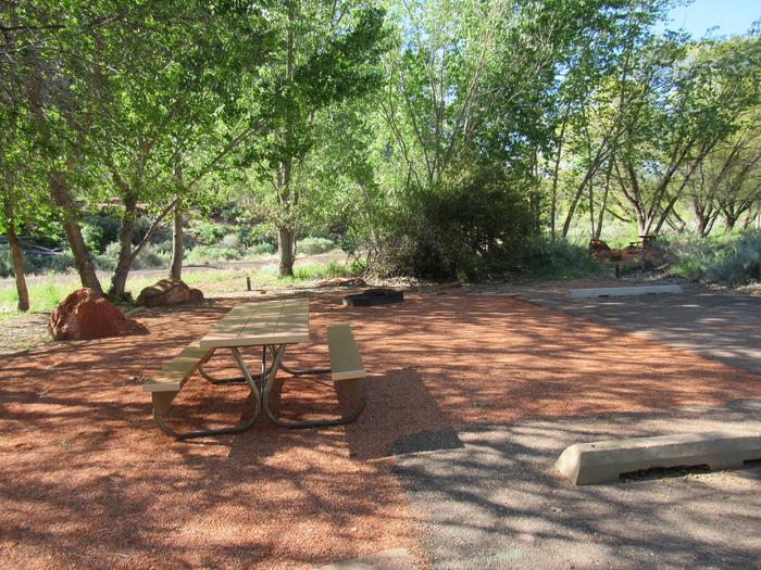
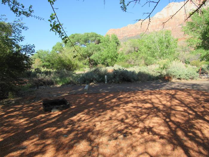
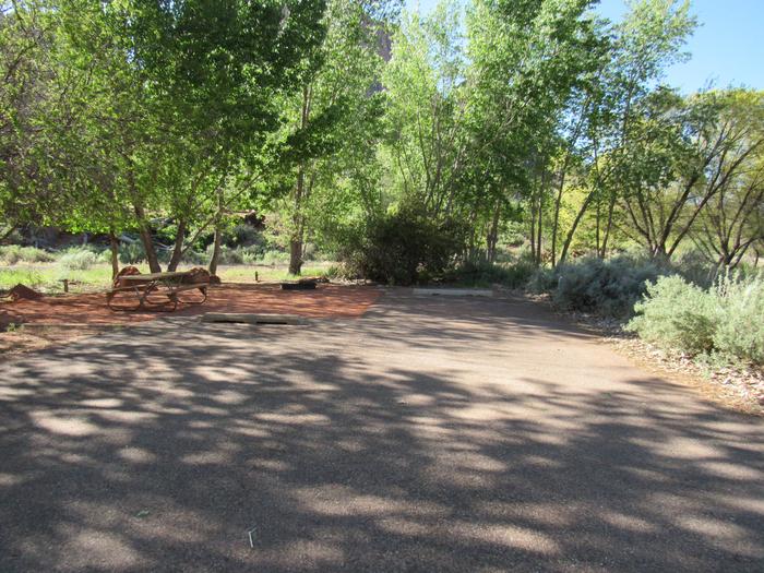
Managed by Orange County, CA, there are facilities fishing, picnics, nature exhibits, handball and field sports. No permanent pool.

RecAreaDirections
Off the 57 Freeway south of Imperial Highway on State College Boulevard.
Open with Google MapMisc
| Stay Limit | |
| Reservable | false |
| Keywords | |
| Map Link | |
| Contact Phone | |
| Contact Email |
Permits info
Direction
Check OHV maps for the dirt road behind Manzanar, about 10 miles North of Lone Pine. High clearance 4x4 vehicle recommended
Important Information
DOWNLOAD AREA MAP FOR THIS TRAIL:Click Here.
George Creek Mt Williamson Area:
- Special approval is required for commercial guide use of this area. Not recommended for stock.
- No campfires above 10,400 ft elevation
- Food and refuse must be stored so that animals cannot get into the food or trash.
- A high clearance 4x4 vehicle is recommended for the approach.
- This area is near Bighorn Sheep habitat. Access is allowed all year; quota applies May 1 to November 1. Use of pack goats is not advised in order to protect the health of the wild sheep.
- John Muir Wilderness regulations apply.
- Sequoia and Kings Canyon wilderness regulations apply if entering the National Park.
- Deadline: Reservation will be canceled unless the permit pick up instructions are completed before the deadline. Instructions are in the confirmation letter.
- Only the group leader or alternate leader may pick up the permit; the person picking up the permit must be going on the wilderness trip.
- BE SURE YOUR DATES AND TRAIL ARE CORRECT The entire group must start on the trail on the entry date listed. Reservations cannot be changed or transferred
USFS Webpage for: George Creek - Mt. Williams.
Long Description
Named for Chief George, a Piute leader in the 1800s, George Creek - Mt Williamson is a steep, unmaintained cross-country route that climbs more than 6,000 vertical feet to the area near Mt. Williamson, Trojan Peak, and Mt. Barnard. Access is allowed year-round. Please be respectful of wildlife as you pass through habitat for the endangered Sierra Nevada Bighorn Sheep. Check guidebooks for route descriptions. Trips up Bairs Creek are included in the George Creek - Mt Williamson quota. Be sure to check avalanche conditions before attempting winter ascents. A high clearance 4x4 vehicle is recommended for the approach.
Facilities
no data available

 CuteCamper
