
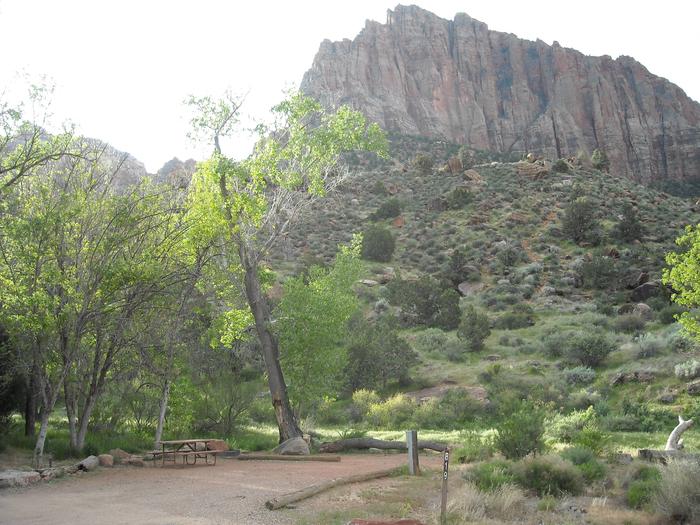
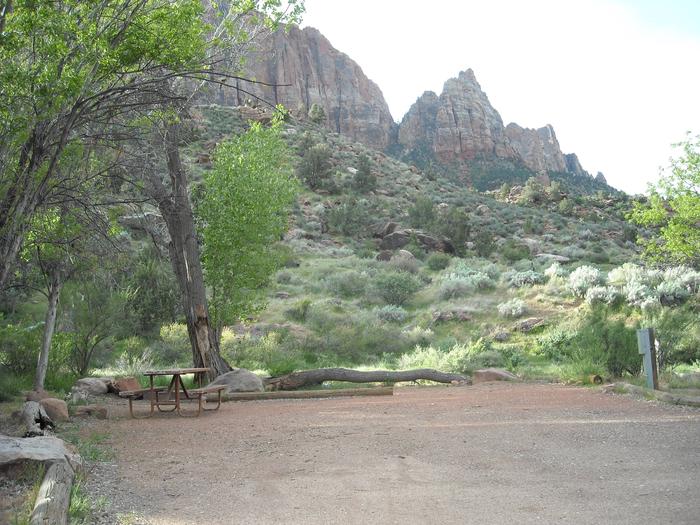
Conchas Lake
Petroglyphs indicate early cultures near here. 34 mi NW of Tucumari on NM 104.

RecAreaDirections
Open with Google Map
Misc
| Stay Limit | |
| Reservable | false |
| Keywords | |
| Map Link | |
| Contact Phone | |
| Contact Email |
Permits info
Direction
Leave Hwy 395 at Hwy 203 to the town of Mammoth Lakes. Turn right on Minaret Road and go to Mammoth Mountain Adventure Center (Main Lodge) for long term parking and to board the mandatory shuttle to the trailhead. Shuttle stop # is Devils Postpile Visitor Center.
Important Information
DOWNLOAD AREA MAP FOR THIS TRAIL:Click Here.
John Muir Trail North of Devils Postpile:
- No campfires above 10,000 ft.; and no campfires at some locations below 10,000ft from Shadow Creek to Donohue Pass, look at USFS Webpage for campfire restriction maps.
- No Camping at Shadow Lake; or within 300 feed of the outflow of Garnet Lake or Thousand Island Lake.
- Bear containers are required for storage of food and trash.
- All visitors to Reds Meadow Valley pay a transportation fee which allows use of the mandatory shuttle bus. Call Mammoth Lakes Welcome Center for more shuttle information. (760)924 - 5500.
- Check the area map for the correct trail name. Trips going toward Minaret Lake, Beck Lake Fern Lake or South of Devils Postpile are a different reservation.
- Ansel Adams Wilderness regulations apply.
- Yosemite wilderness regulations apply if entering the National Park.
- Deadline: Reservation will be canceled unless the permit pick up instructions are completed before the deadline. Instructions are in the confirmation letter.
- Only the group leader or alternate leader may pick up the permit; the person picking up the permit must be going on the wilderness trip.
- BE SURE YOUR DATES AND TRAIL ARE CORRECT - The entire group must start on the trail on the entry date listed. Reservations cannot be changed or transferred
USFS Webpage for: John Muir Trail North of Devils Postpile.
Long Description
Traveling the length of the Sierra, the John Muir Trail extends from Mount Whitney to Yosemite National Park. This section of the trail is north of Devils Postpile National Monument. From the Devils Postpile Visitor Center (shuttle stop #6) it is less that a mile to the junction with the John Muir Trail. As you follow the John Muir Trail it climbs above Minaret Falls and goes past Johnston Lake, Trinity Lakes and Gladys Lake. It is possible to go all the way to Happy Isles in Yosemite. This is an active bear area so you must use bear resistant food containers to secure your food and refuse. The shuttle makes loop trips easy in this area. Other area trails have separate quotas. Please refer to the area map for information about trails to Beck, Fern and Minaret Lakes.
Facilities
North Recreation Area Facility
This recreation area is part of Conchas Lake
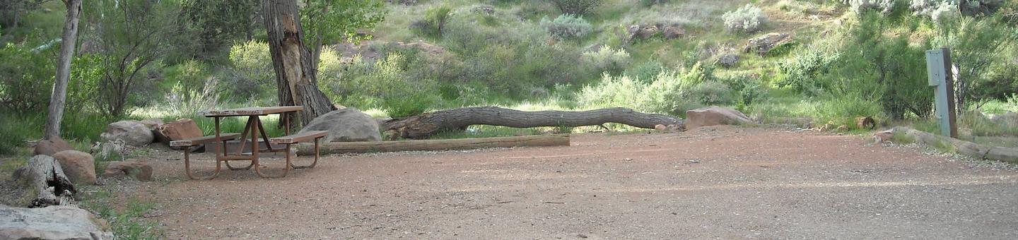
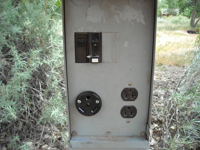
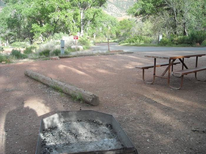
South Area Campground Campground
List of CampsitesThis recreation area is part of Conchas Lake
Central Recreation Area Facility
This recreation area is part of Conchas Lake
Bell Pointe Recreation Area Facility
This recreation area is part of Conchas Lake
Cove Recreation Area Facility
This recreation area is part of Conchas Lake
