Jemez Canyon Dam

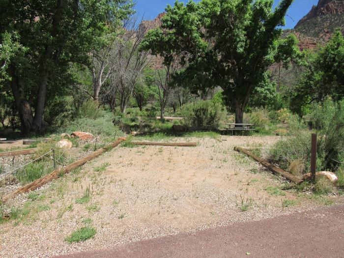
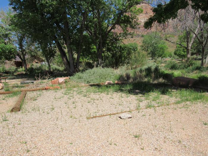
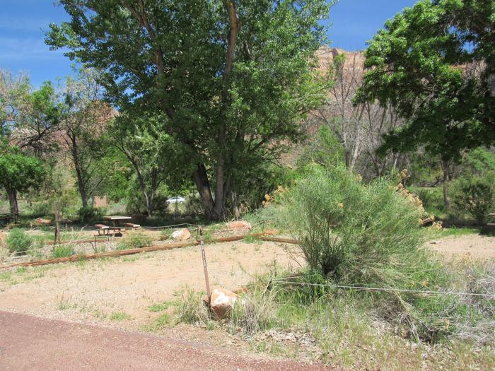
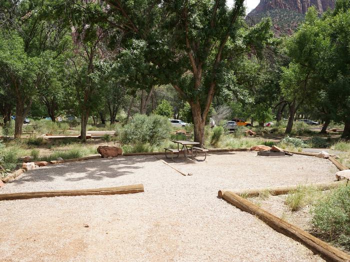
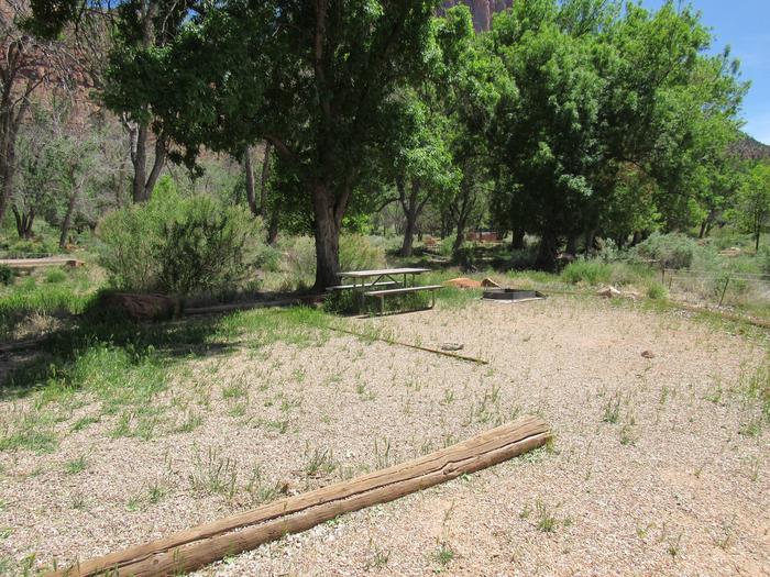
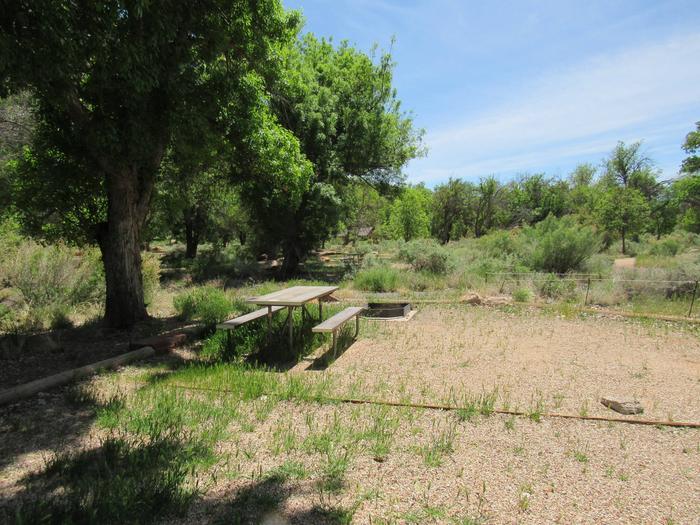
Jemez Canyon Dam, is located within the boundaries of the Santa Ana Pueblo Indian Reservation. Please observe and obey all Pueblo regulations. Do not trespass on lands closed to the public. Jemez Canyon Dam, administered by the Cochiti Lake Project Office, is a small reservoir with picnic and overlook facilities. There is no access to the water. It is located approximately 15 mi form I-25 to exit 242, W on Hwy 44 to Jemez Canyon Road.
RecAreaDirections
It is located approximately 15 miles form I-25 to exit 242, west on Highway 44 to Jemez Canyon Road.
Open with Google MapMisc
| Stay Limit | |
| Reservable | false |
| Keywords | |
| Map Link | |
| Contact Phone | |
| Contact Email |
Permits info
Direction
Leave Hwy 395 approx. 7 miles North of Lee Vining. Turn west on Lundy Canyon Rd, trailhead begins near the outflow of Lundy Lake.
Important Information
DOWNLOAD AREA MAP FOR THIS TRAIL:Click Here.
Lakes Canyon trail is non quota:You do not need a reservation for trips starting at Lundy or Lakes Canyon. Contact Inyo National Forest for information about walk in permits for non quota trails.
- Food and refuse must be stored so that animals cannot get into the food or trash.
- Not passable for stock.
- Guiding in Hoover wilderness is by Yosemite Mountaineering School.
- This area is near Bighorn Sheep habitat. Use of pack goats is not advised in order to protect the health of the wild sheep.
- Hoover Wilderness regulations apply.
USFS Webpage for: Lakes Canyon.
Long Description
Starting at the south end of Lundy Lake, the Lakes Canyon trail steadily climbs the narrow canyon between Gilcrest Peak and Mount Scowden. Interesting remains of mining history can be seen in this area. Visitors should remember that the Antiquities Act protects all artifacts from being damaged or removed, so be sure to leave historical items where they are. It is 3.3 miles to reach Oneida Lake with Blue Lake and Crystal Lake nearby.
Facilities
no data available

 CuteCamper
