
Aquilla Lake
Tent only
D33
This 3,280-acre lake is located on Aquilla and Hackberry Creeks.
D33 3
D33
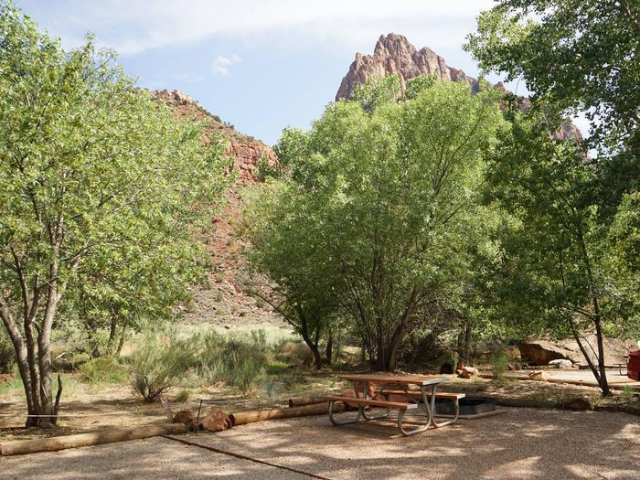
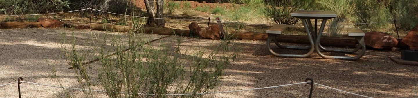
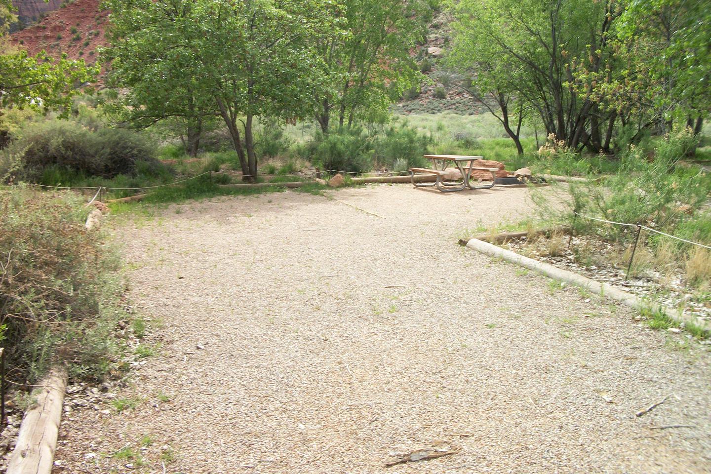
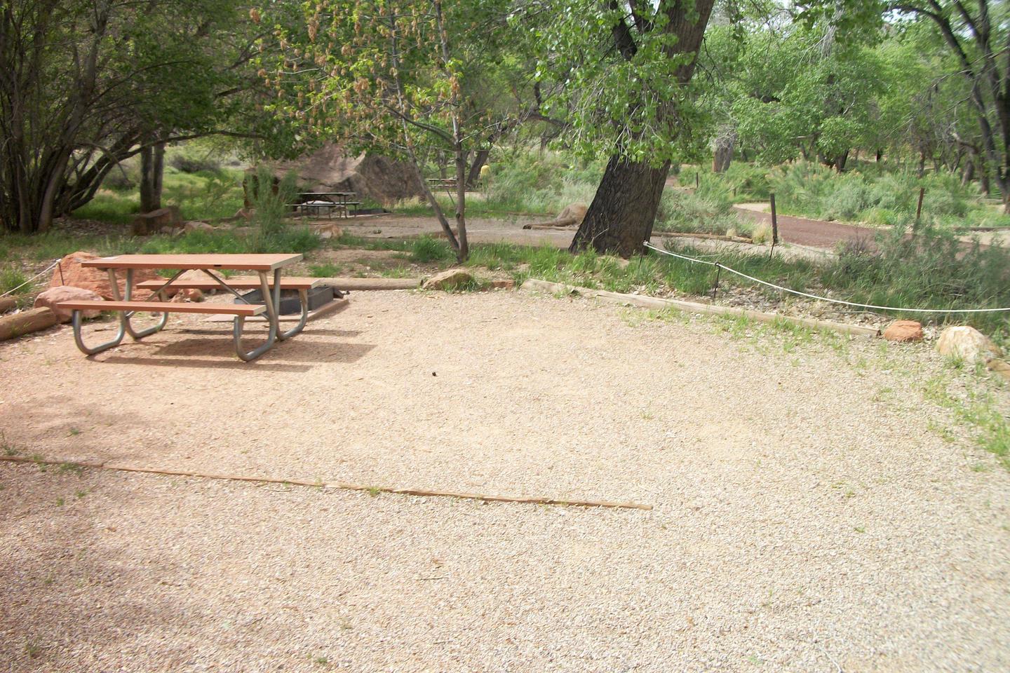
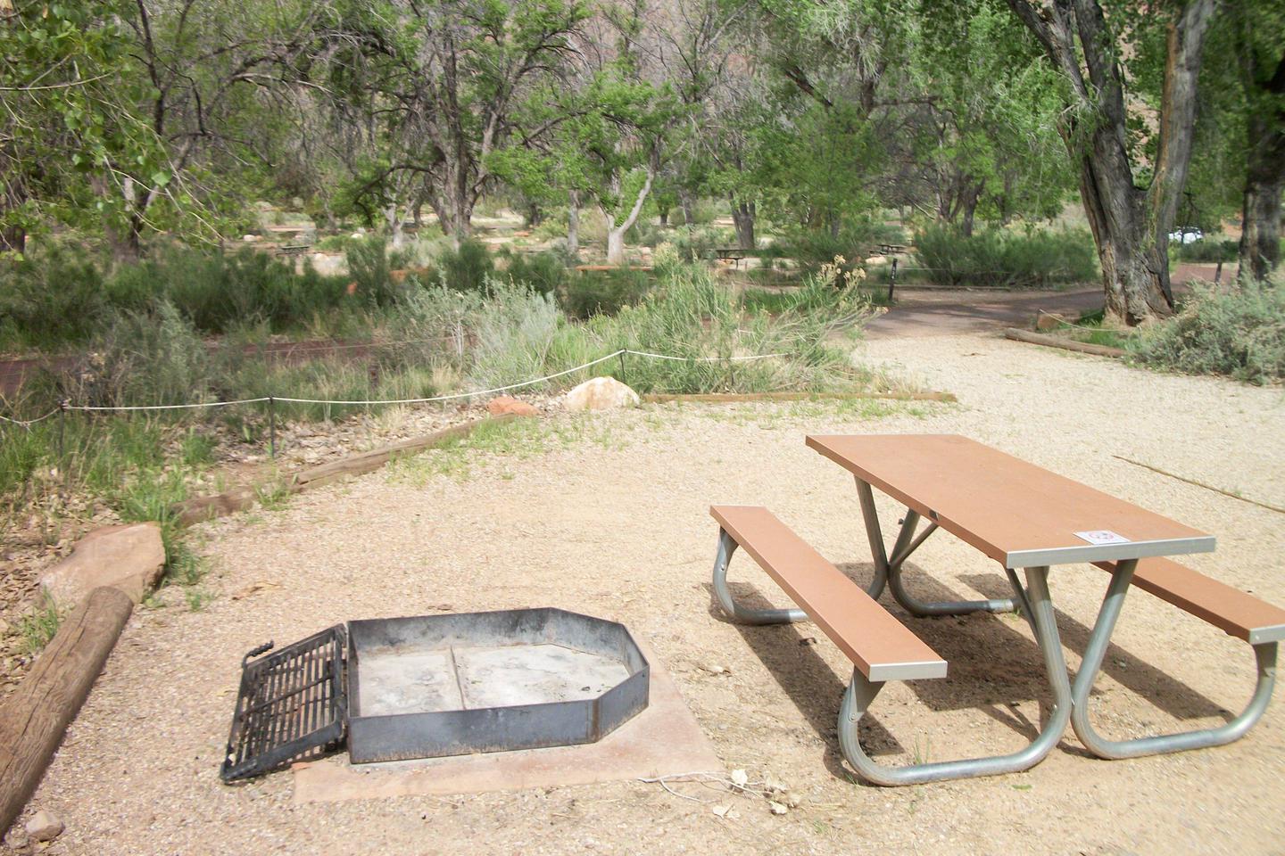
Campsite area
D33
turtles
turtles
D33 1
D33
D33 2
D33
RecAreaDirections
Open with Google Map
Misc
| Stay Limit | |
| Reservable | false |
| Keywords | |
| Map Link | |
| Contact Phone | |
| Contact Email |
Permits info
Direction
From Lone Pine, CA, travel 13 miles west on Whitney Portal Road. The Mt. Whitney trailhead is located on the north side of the road at Whitney Portal. From Whitney Portal, walk approximately1 mile up the Mt. Whitney Trail, to North Fork Lone Pine Creek. The North Fork trail begins at the creek crossing.
Important Information
DOWNLOAD AREA MAP FOR THIS TRAIL:Click Here.
North Fork of Lone Pine Creek Area:
Day Use in this area requires a Mt. Whitney Zone Day Use Permit click here for Mt. Whitney permits
- All Mt. Whitney visitors are expected to pack out their solid human waste. Pack-out kits are distributed with wilderness permits.
- No Campfires.
- Be Bear Aware! There is a high level of bear activity in the Mt. Whitney area.
- At the trailhead, all food and scented items must be removed from vehicles and stored in the bear proof lockers located in parking areas.
- Dispose of trash in bear proof trash receptacles at the trailhead.
- Use bear proof containers to store all food and refuse, there are no trees in this canyon suitable to hang food.
- Stock is not allowed.
- Deadline: Reservation will be canceled unless the permit pick up instructions are completed before the deadline. Instructions are in the confirmation letter.
- Only the group leader or alternate leader may pick up the permit; the person picking up the permit must be going on the wilderness trip.
- BE SURE YOUR DATES AND TRAIL ARE CORRECT The entire group must start on the trail on the entry date listed. Reservations cannot be changed or transferred
Long Description
None
Facilities
no data available
