
Wallisville Lake
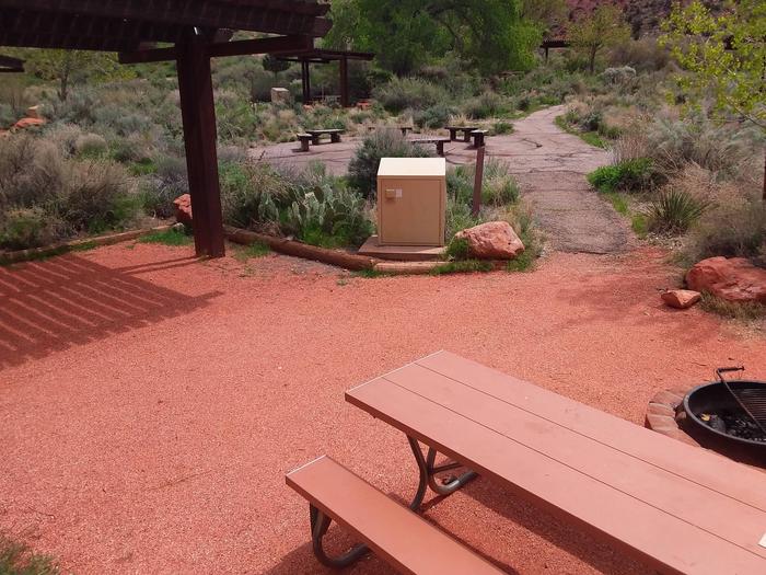
Walk to, non electric, tent only
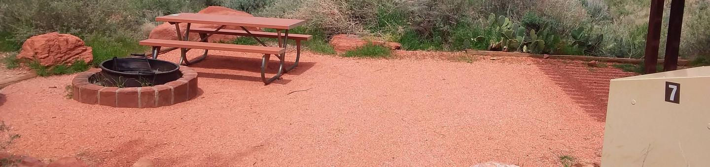
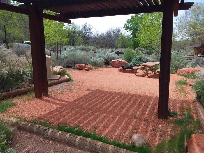
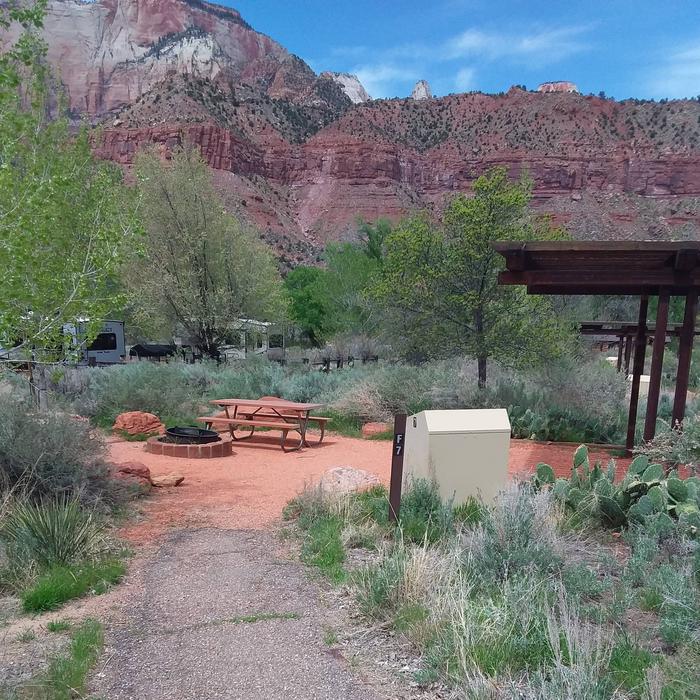
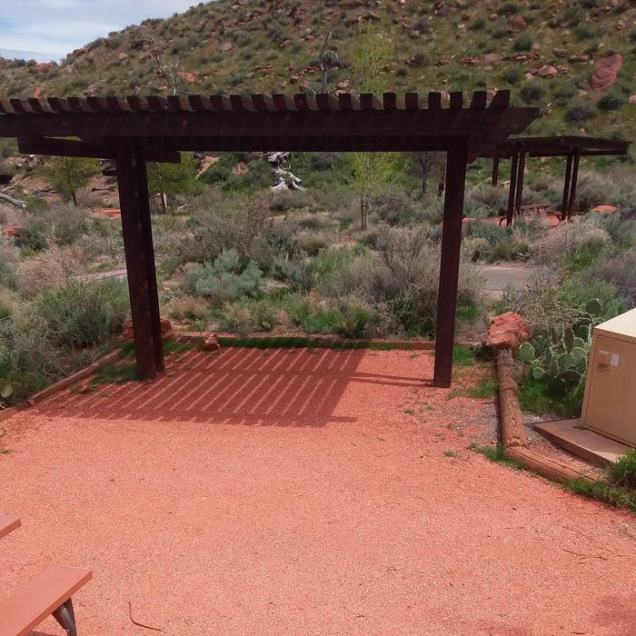
F7
F007 2
F007 2

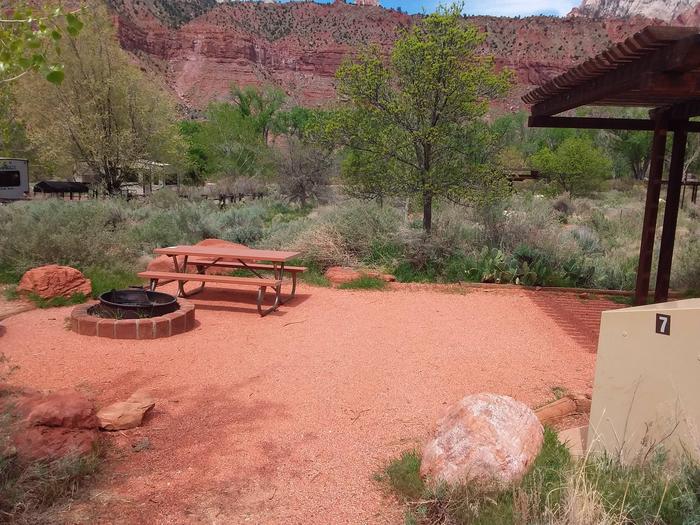
Walk to, non electric, tent only
F7
F007 5
F007 5
F007 1
F007 1
F007 3
F007 3
F007 4
F007 4
RecAreaDirections
Open with Google Map
Misc
| Stay Limit | |
| Reservable | false |
| Keywords | |
| Map Link | |
| Contact Phone | |
| Contact Email |
Permits info
Direction
Leave Hwy 395 on Sage Flat rd, approximately 29 miles north of Pearsonville. Last few miles are dirt.
Important Information
DOWNLOAD AREA MAP FOR THIS TRAIL:Click Here.
You do not need a reservation for trips starting at a non quota trail unless you will end the trip at Mt Whitney. Contact Inyo National Forest for information about walk in permits for non quota trails.
South Sierra Wilderness Regulations ApplyUSFS Webpage for: Olancha Pass.
Long Description
Starting from Sage Flat road, the Olancha Pass trail gives assess to the Wildrose trail in the South Sierra Wilderness and eventually reaches the Pacific Crest Trail north of Summit Meadow. Please refer to the area map for other trail names.
Facilities
no data available
