
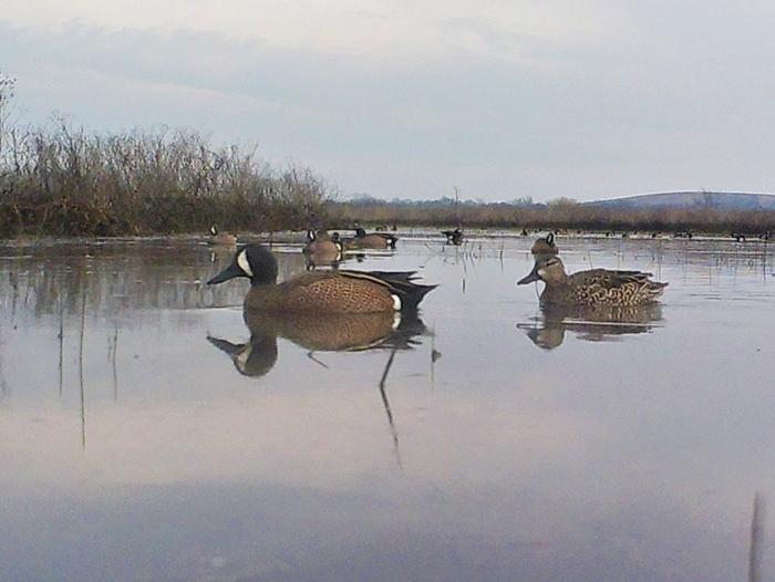
Elk City Lake
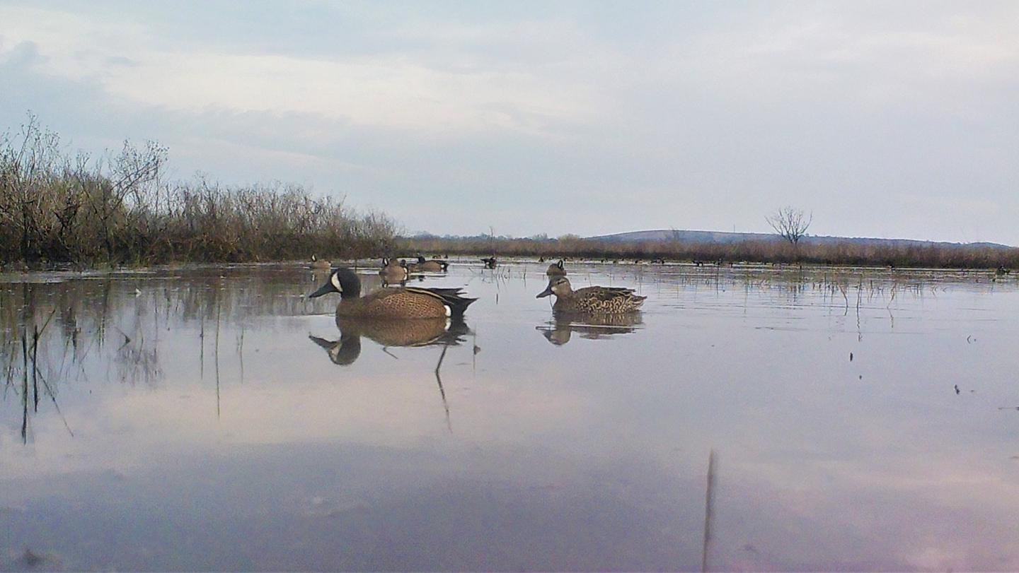
A precipitous rock bluff marks the north margin of the river for several miles above the dam site. The State of Kansas uses 11,680 acres of project lands for wildlife management and public hunting.
RecAreaDirections
From Independence, 7 miles north on US 75, 4 miles west and 2 miles south on county road.
Open with Google MapMisc
| Stay Limit | |
| Reservable | false |
| Keywords | |
| Map Link | |
| Contact Phone | |
| Contact Email |
Permits info
Facilities
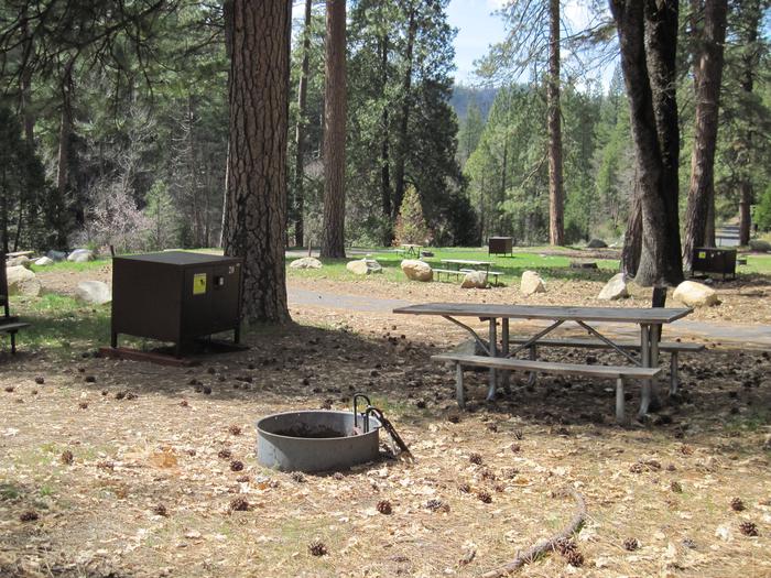
Card Creek Campground
List of CampsitesOverview
Card Creek Campground is located 5 miles east of Independence Kansas.
Recreation
There is very good fishing at Card Creek and there is a hiking trail adjacent to the campground. Camping is available year round. It is located near the Kansas Department of Wildlife, Parks and Tourism hunting areas.
Facilities
There are 15 electric campsites and 5 primitive campsites. There is one shower building restroom and one vault toilet. There is a boat ramp and a dump station.
Natural Features
Card Creek Campground is located along Card Creek which flows into Elk City Lake.
Nearby Attractions
The City of Independence is located 5 miles east of the park. Located near the Elk River Hiking Trail, for more information visit www.kansastrailscouncil.org.
Outlet Channel Campground
List of CampsitesOverview
Outlet Channel sits below the Elk City Dam and offers a quiet setting along the Elk River.
Recreation
Fishing, Biking, Hiking, Basketball, Sand Volleyball court.
Facilities
Outlet channel has a group shelter and located near the mountain bike trails and the Elk River Hiking trail.
Natural Features
Located below the Table Mound with has natural rock formations.
Nearby Attractions
City of Independence is located 5 miles SE of park. Located near the Elk River Hiking Trail, for more information visit www.kansastrailscouncil.org.
Squaw Creek Facility
This recreation area is part of Elk City Lake
Card Creek Facility
This recreation area is part of Elk City Lake
