
San Joaquin River Gorge Special Recreation Management Area
Overview
The scenic San Joaquin River Gorge Special Recreation Management Area straddles the San Joaquin River just upstream from Millerton Lake State Recreation Area and includes lands in both Fresno and Madera Counties. Multiple campground and day-use sites are available for your enjoyment including: Ya-Gub-Weh-Tuh Campground, Aholul Group Campground, Equestrian Campground, River Access Day-Use, and a Visitor Center with extensive opportunities for educational experiences for visitors, schools, and other groups. With over 20 miles of outstanding multi-use trails that weave there way through the management area, there is a route awaiting your next adventure.
Fee Schedule
- Day Use (per vehicle)………..$5
- Annual Pass…………………..$25
- Individual Campsite…………..$10
- Double Campsite (2 tables)….$15
- Equestrian Campsite…………$25
- Group Campground*…………$175
- Nuckahee Learning Center*…$300
- Interpretive Programs………..$10
Trails of the Gorge
The Dumna and Kechayi Native Americans once called the Gorge home and are still active in the area, practicing their cultural traditions which include ceremonies on site. It is from their language that we derive the names of the trails contained within the Management Area. All trails are multi-use, shared by hikers, mountain bikers and equestrian users. Motorized use on trails is prohibited.
- Foot Bridge Trail
- Distance: 1 Mile to Foot Bridge
- Round Trip from Ya-Gub-Weh-Tuh parking: 2 Miles
- Pa'san Ridge Trail
- Distance: 6 mile loop (begins across the Foot Bridge)
- Round Trip from Ya-Gub-Weh-Tuh parking: 8 Miles
- Wuh-ki'o Trail
- Distance: 4 miles
- Round Trip from Ya-Gub-Weh-Tuh parking: 11 Miles
- San Joaquin River Trail
- Distance: 2 miles (to BLM boundary)
- Round Trip from Ya-Gub-Weh-Tuh parking: 4 Miles
- River Access Trail
- Distance: 1/2 mile
- Round Trip from River Access Parking: 1 mile
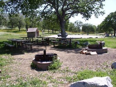
Group Camground
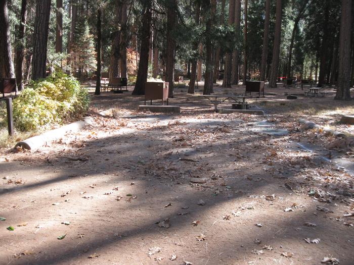
Parking Pad
Parking Pad 311
RecAreaDirections
40060 Smalley Road, Auberry, California
The San Joaquin River Gorge Recreation Area is located approximately five (5) miles northwest of the town of Auberry. Google Maps accurately locates the visitor center.
From Fresno, take CA-168 north. One mile after the town of Prather, turn left onto Auberry Road. Follow Auberry Road 2.9 miles through the town of Auberry and turn left at the "Y" onto Powerhouse Road. After 1.8 miles, turn left onto Smalley Road and follow it down into the recreation area.
Open with Google MapMisc
| Stay Limit | 14 day camping limit, day use 6am to sunset |
| Reservable | false |
| Keywords | |
| Map Link | |
| Contact Phone | |
| Contact Email |
Permits info
Facilities
no data available
