
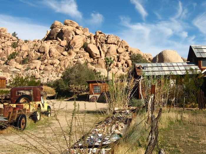
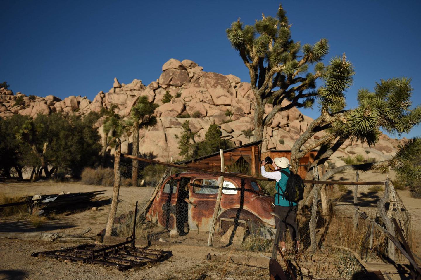
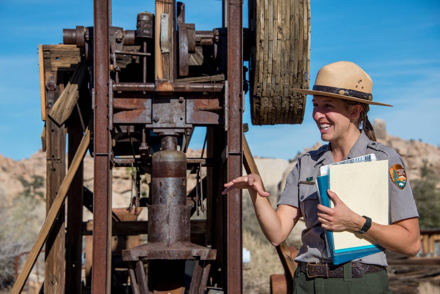
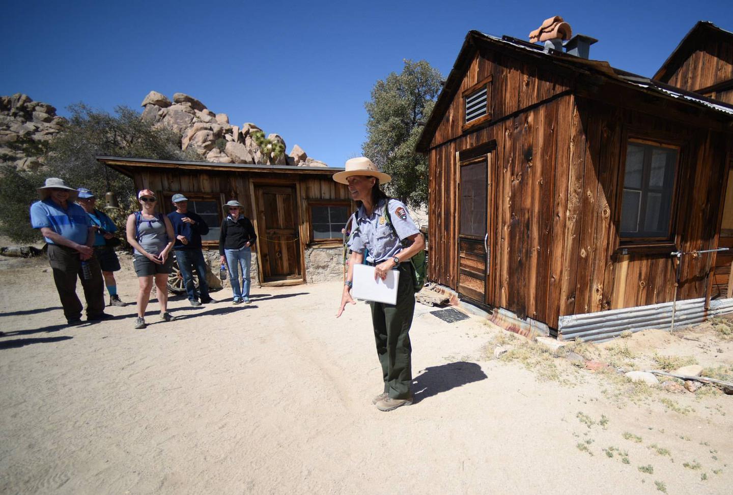
Recreation - Chattahoochee-Oconee National Forest
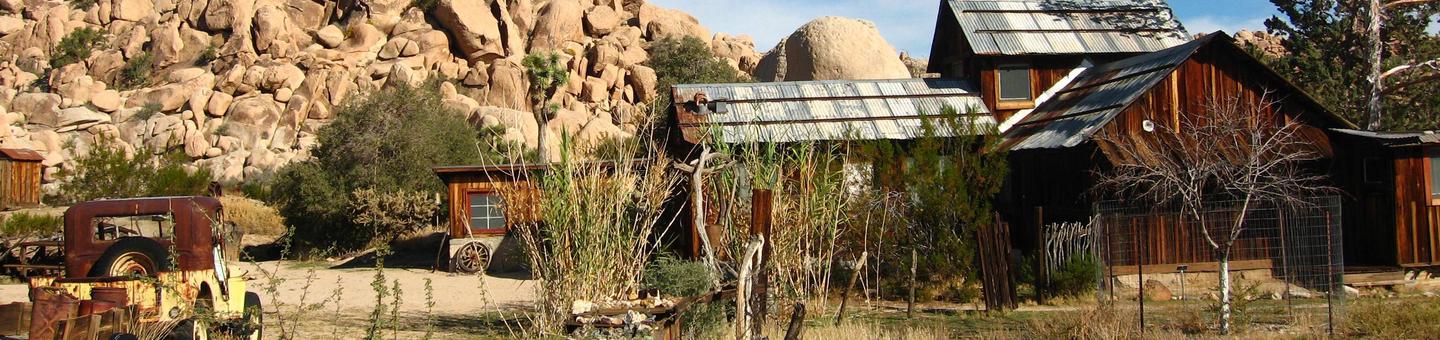
Recreation Activities - A comprehensive list of all recreation opportunities across the national forest, grouped by type of activity or by Ranger District.
Frequently Asked Questions - Got questions about the forest? Please take a look here before you pick up the phone. You'll probably find the answer to your question.
Outdoor Safety in the South - Adventure awaits you on the national forest, but the best adventures are also safe. Know Before You Go - safety is your responsibility.

Outdoor Fun in the North Georgia Mountains highlights 16 the most popular mountain recreation spots.
Wilderness - 10 of Georgia’s amazing Wilderness Areas on the national forest offer more than 100,000 acres of solitude!
Maps - Explore and locate destinations on the forest, including waterfalls and scenic drives.
RecAreaDirections
Open with Google Map
Misc
| Stay Limit | |
| Reservable | false |
| Keywords | |
| Map Link | |
| Contact Phone | |
| Contact Email |
Permits info
Facilities
Deep Hole Recreation Area Campground
List of CampsitesOverview
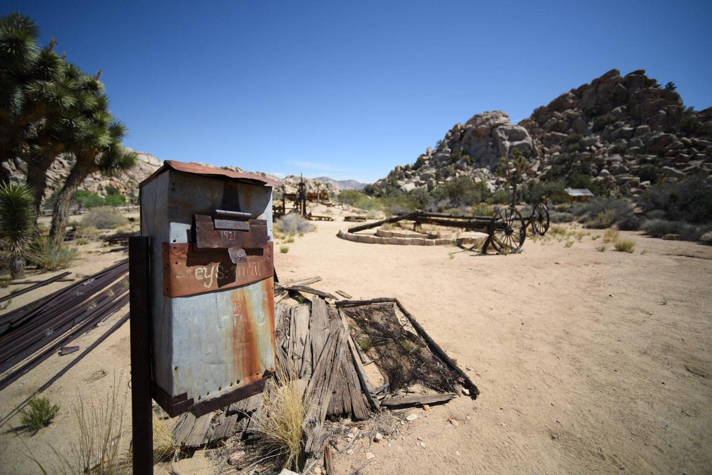
Deep Hole Recreation Area is a U.S. Forest Service Campground and Day Use Area located approximately 2 hours north of Atlanta in the North Georgia Mountains of the Chattahoochee National Forest. Deep Hole offers visitors year-round recreation opportunities such as camping, fishing, picnicking, and a lauch area for tubing and kayaking along the Toccoa River. Trout fishing is popular here in North Georgia so having a campsite such as Deep Hole adjacent to the Toccoa River is an amazing opportunity for avid fisherman. Nine campsites are neatly arranged in one loop and walking distance to the Toccoa River. Campsites 5 & 9 are directly next to the River. The climate here is fairly mild and generally offers all four seasons, so it's a wonderful place to relax and experience each of these throughout the year. North Georgia is a playground for wildlife watchers. We have an abundance of Deer, Turkey, Bear, and small Furbearers. There is a $5.00 Day Use Fee for those that only decide to fish, kayak, picnic, or tube down the Toccoa River. If you are camping, you are excluded from this fee. The Fee Tube at the Information Board is for Day Use Only. If you need to get away from the hustle and bustle of everyday life, please visit Deep Hole Recreation Area.
Recreation
This campground is located along the banks of a big turn of the Toccoa River just north of Suches, GA. The primary attraction to this area would be the trout fishing and being able to float down the Toccoa River. The Chattahoochee National Fish Hatchery is only 5.5 miles away and they stock this area with trout weekly during peak camping season. Coopers Creek and Rock Creek are within ten minutes of Deep Hole Recreation Area, which offers visitors more areas to trout fish and more camping opportunities in beautiful North Georgia. Deep Hole is the beginning of the Toccoa River and is a Nationally Designated River Trail.
Facilities
Deep Hole has one double vault toilet within the campground with sites 1, 2, 3, 4, and 9 being the closest to the restroom. There is no water, hook-ups, elecricity, or dump station.
Natural Features
Deep Hole Recreation Area is located within the Blue Ridge Mountains of North Georgia and you can't ask for a better atmosphere for camping and floating down the Toccoa River. During the months of October, North Georgia's trees put on a vibrant show. Summer's dark greens change to brilliant reds, oranges, and yellows which makes the camping atmosphere amazing. Thousands of visitors make the trip annualy and we hope you will as well.
Nearby Attractions
Blue Ridge, Georgia is a mountain town in northern Georgia within 20 minutes of Deep Hole Recreation Area. Exhibitions and shows at the Art Center and the Blue Ridge Community Theater highlight the work of the town’s thriving artistic community. Craft breweries and restaurants dot the downtown. Antique trains head to nearby mountain villages along the Blue Ridge Scenic Railway. Trails run through the Chattahoochee National Forest to Long Creek and Fall Branch waterfalls.
Mercier Orchards is an attraction that you must visit. This is a family-owned and operated apple orchard now in its 4th generation. Started back in 1943 by Bill & Adele Mercier. Mercier Orchards is now celebrating over 75 years of fruitful harvest! The combination of their U-PICK events, Bakery & Market Cafe, Market Store, and now their Farm Winery makes them a great choice for a day trip by yourself or with the family! Spend the day experiencing what makes them unique! They're constantly improving products and the store will give you the best experience that they can possibly offer.
They currently grow strawberries, blueberries, blackberries, peaches, nectarines, and apples! Be sure to check out their upcoming events to see what’s going on at the orchard!
COOPER CREEK STORE IS WITHIN 5MINS FROM DEEP HOLE. THEY HAVE ALL YOUR CAMPING SUPPLY NEEDS. ONCE YOU REACH HWY 60 EXITING THE CAMPGROUND, TURN RIGHT AND IT'S ABOUT A HALF A MILE ON THE RIGHT.
Check Out These Areas As Well:
The Tennessee Overhill including the Ducktown Basin Museum, Ocoee Whitewater Center, Ocoee Scenic Byway, and Hiwassee Rail Adventures in Etowah.
North Carolina - Harrah’s Cherokee Valley River Casino in Murphy and John C. Campbell Folk School in Brasstown.
Fort Mountain State Park – near Ellijay, GA
Amicalola State Park – near Dawsonville & Blue Ridge , GA
Dahlonega Gold Museum Historic Site – Dahlonega, GA
North Georgia Wildlife Park & Zoo – Cleveland, GA
Helen Alpine Village, Helen GA
Brasstown Bald-Highest Point in Georgia
Vogel State Park-Blairsvile, GA
Blairsville Farmer’s Market
Cooper Creek Campground (GA) Campground
List of CampsitesOverview
Cooper Creek Campground is located in the Chattahoochee-Oconee National Forest along the banks of Cooper Creek in the North Georgia Mountains. The Campground offers many recreation activities including camping, hiking, trout fishing, and hunting. The campground is well kept and is a nice place for just a weekend getaway or an extended stay. Most of the campsites are fairly spaced apart so the privacy level is decent which makes for and enjoyable time. This Recreation area is well known for great trout fishing year-round and you can fish up and down the main creek or take the numerous trails along the bank of the creek if you’re not having any luck at the campground. Please make your way out to this beautiful campground for a pleasant and relaxing experience.
Recreation
There are several hiking trails that start in or near the campground and all are interconnected, so forming a loop is a breeze. The Yellow Mountain Trail is the longest at 3.2 miles, so these are great little trails for taking the kids or the inexperienced hiker on. The Duncan Ridge Trail isn’t far up the road if you would like to do a more challenging hike.
Yellow Mtn. Trail – 3.2 miles
Connector Trail – 0.4 miles
Mill Shoals Trail – 0.9 miles
Shope Gap Trail – 0.6 miles
Cooper Creek Trail – 1.7 miles
Facilities
Cooper Creek Campgound has two vault toilets. One near site 23 at the Cooper Creek Loop and site 5 at Mulky. The campground has no flush toilets, showers, hook-ups, or dumstations. Drinking water is provided only during peak season, which is from April 1st though October 31st. Fees are reduced during off-peak when the water is shutoff and winterized. (November 1st through March 31st.
Natural Features
Cooper Creek Campground is settled inside The Cooper Creek Wildlife Management Area. It spans more than 30,000 acres, and lies within the Chattahoochee National Forest. This WMA is located in the extreme northeast corner of Georgia and nearly borders North Carolina. This WMA offers hunting opportunities for deer, bear, turkey and small game. The trails in this wildlife management area offer nearly eight miles of easy to moderate hiking. The trails follow old logging trails and new footpaths through a variety of hardwood, mixed pine and hardwood, and white pine and hemlock forests.
Nearby Attractions
If cooper creek is booked please check out Deep Hole Campground which is 15 minutes South of Area. This campground has nine sites and is also a great place to catch fish along the Toccoa River. This campground can also be booked on recreation.gov or calling the reservation line. Blue Ridge, Blairsville, and Dahlonega GA, are all towns nearby to visit for all your supply needs. If you dont want to drive into town, visit the Cooper Creek Store which is about 5 miles south of the campground as they'll have all your camping supplies.
Frank Gross Campground Campground
List of CampsitesOverview
Frank Gross is a U.S. Forest Service Campground located approximately 2 hours north of Atlanta in the North Georgia Mountains of the Chattahoochee National Forest. Frank Gross Campground offers visitors year-round recreation opportunities such as camping, fishing, picnicking, and hiking. Trout fishing is popular here in North Georgia so having a campsite such as Frank Gross adjacent to the Rock Creek is an amazing opportunity for avid fisherman. Eight campsites are neatly arranged for privacy and only walking distance to Rock Creek. Campsites 2 & 5 are directly next to the River. The climate here is fairly mild and generally offers all four seasons, so it's a wonderful place to relax and experience each of these throughout the year. North Georgia is a playground for wildlife watchers. We have an abundance of Deer, Turkey, Bear, and small Furbearers. If you need to get away from civilization and everyday life, please visit Frank Gross Campground. You'll be glad you did.
Recreation
We have plenty of recreational opportunities that are not far from Frank Gross. If you enjoy hiking, The Benton MacKaye trail is north of Frank Gross; this trail crosses the Toccoa River on a suspension bridge that is 260 feet long. Fishing in Rock Creek and Mill Creek for stocked and wild trout is popular. The Chattahoocee National Fish Hatchery is also located on Rock Creek approximately 1/4 mile downstream from Frank Gross. The facility offers an informational visitor kiosk, outdoor raceway viewing, picniking, and an Environmental Education Center. Hiking Trails within a 30 minute drive - The Appalachian Trail is approximately 4 miles south at the intersection of FS Road 42 and FS Road 69. The Benton MacKaye Trail crosses FS Road 333 approximately 4 miles north.
If Frank Gross is booked, check out our other Forest Service Campgrounds that are just a 15 min drive away. Cooper Creek Campground and Deep Hope Recreation Area. These campgrounds offer a great experience of Fishing, Hiking, Kayaking, and Picknicking. Hope to see you soon!
Facilities
Frank Gross Campground has one double vault toilet within the campground with sites 1, 2, 3, 4, & 5 being the closest to the restroom. There is no water, hook-ups, elecricity, or dump station at this campground.
Natural Features
Frank Gross Campground is nestled on the banks of Rock Creek in the Ed Jenkins National Recreation Area inside the Chattahoochee National Forest. Once you turn down Rock Creek Road, the 5 mile drive to Frank Gross Campground is breathtaking. Rock Creek is visible for most of the drive so it gives fisherman an opportunity to locate a good spot to fish as you travel to the campground. Experiencing all four seasons here in North Georgia makes camping a pleasant experience for everybody. During the months of October, North Georgia's trees put on a vibrant show. Summer's dark greens change to brilliant reds, oranges, and yellows which makes the camping atmosphere amazing. Thousands of visitors make the trip annualy and we hope you will as well.
Nearby Attractions
Blue Ridge, Georgia is a mountain town in northern Georgia within 30 minutes of Frank Gross Campground. Exhibitions and shows at the Art Center and the Blue Ridge Community Theater highlight the work of the town’s thriving artistic community. Craft breweries and restaurants dot the downtown. Antique trains head to nearby mountain villages along the Blue Ridge Scenic Railway. Trails run through the Chattahoochee National Forest to Long Creek and Fall Branch waterfalls.
Mercier Orchards is an attraction that you must visit. This is a family-owned and operated apple orchard now in its 4th generation. Started back in 1943 by Bill & Adele Mercier. Mercier Orchards is now celebrating over 75 years of fruitful harvest! The combination of their U-PICK events, Bakery & Market Cafe, Market Store, and now their Farm Winery makes them a great choice for a day trip by yourself or with the family! Spend the day experiencing what makes them unique! They're constantly improving products and the store will give you the best experience that they can possibly offer.
They currently grow strawberries, blueberries, blackberries, peaches, nectarines, and apples! Be sure to check out their upcoming events to see what’s going on at the orchard!
COOPER CREEK STORE IS WITHIN 15MINS OF FRANK GROSS. THEY HAVE ALL YOUR CAMPING SUPPLY NEEDS. ONCE YOU REACH HWY 60 GOING NORTH, TURN RIGHT AND IT'S ABOUT A MILE ON THE RIGHT.
Check Out These Areas As Well:
The Tennessee Overhill including the Ducktown Basin Museum, Ocoee Whitewater Center, Ocoee Scenic Byway, and Hiwassee Rail Adventures in Etowah.
North Carolina - Harrah’s Cherokee Valley River Casino in Murphy and John C. Campbell Folk School in Brasstown.
Fort Mountain State Park – near Ellijay, GA
Amicalola State Park – near Dawsonville & Blue Ridge , GA
Dahlonega Gold Museum Historic Site – Dahlonega, GA
North Georgia Wildlife Park & Zoo – Cleveland, GA
Helen Alpine Village, Helen GA
Brasstown Bald-Highest Point in Georgia
Vogel State Park-Blairsvile, GA
Blairsville Farmer’s Market
Dockery Lake Recreation Area Campground
List of CampsitesOverview
Dockery Lake Recreation Area is a U.S. Forest Service Campground located approximately 2 hours North of Atlanta in the North Georgia mountains of the Chattahoochee National Forest. Dockery Lake is nestled deep within the mountains 12 miles north of Dahlonega, GA. Dockery Lake Recreation Area offers camping, picnicking and fishing for all ages. Dockery Lake Campground is small and located right along the banks of Dockery Lake. The campground is situated under a dense forest of deciduous and evergreen trees which brings plenty of shade in the summer time. 11 campsites are neatly arranged within close proximity to the Lake and the Day Use area (no fee). The climate here is fairly mild and generally offers all four seasons, so it is a wonderful place to relax and experience each of these throughout the year. North Georgia is a playground for wildlife watchers. An abundance of Deer, Turkey, Bear and, small furbearers can be seen as well as bird watching. If you need to get away from the hustle and bustle of everyday life, come to Dockery Lake Recreation Area.
Recreation
Day Hiking:
Lakeshore Trail - 0.5 mile easy loop around lake.
Dockery Lake Trail - 3.5 miles leads to the Appalachian Trail in Miller Gap.
Other trails within a 30 minute drive:
The Appalachian Trail cross Hwy 60 at Woody Gap, approximately 2 miles north.
The Benton MacKaye Trail crosses Hwy. 60 in two places, approximately 12 miles north.
Dockery Lake - Carry Down Electric Motors Only
Facilities
There are no water or electric hook-ups or dump station available in the campground. 1 flush facility in the campground and 1 vault toilet in the day use area. Standard Amenities (i.e. grill, picnic tables, lantern post, etc) Flush facilty and drinking water is only available from 4/1 through 10/31.
Natural Features
Dockery Lake campground and day-use area is constructed next to a small pond. The area, operated by the Forestry Service's Blue Ridge Ranger Disctict of the Chattahoochee National Forest, is nestled among the Cedar Ridge range of the Blue Ridge Mountains. Situated on a small tributary to Waters Creek, Dockery Lake is a 6-acre (24,000 m2) man-made lake stocked with trout. During the Month of October, North Georgia’s trees put on a vibrant show. Summer's dark greens change to brilliant reds, oranges and yellows which makes the camping atmosphere amazing. Thousands make the yearly trek into the mountains near Dockery Lake for a front row seat.
Nearby Attractions
Waters Creek Day Use:
Head south on Dockery Lk Rd toward GA-60 S
282 ft
Turn left onto GA-60 S
3.6 mi
At the traffic circle, take the 3rd exit onto US-19 N
4.8 mi
Turn left onto Dicks Crk Rd
2.8 mi
Waters Creek Day Use Area
Dicks Crk Rd, Cleveland, GA 30528
FERN SPRINGS DAY USE PICNIC AREA Campground
List of CampsitesOverview
Fern Springs is home to historical hand-constructed stone pavilions, walkways, bridges, water rills and stairways.
Recreation
Lake Russell Recreation Area, located just five miles from the picnic area, offers a popular swimming beach and ample fishing opportunities.Facilities
The area is closed to public use
Natural Features
Fern Springs is cradled by white pines, hemlocks and old growth oak trees and has a large grassy lawn and rich understory. The conditions provide a wonderful habitat for many bird species and animals, making the area a perfect spot for viewing wildlife.
The area was constructed by the Civilian Conservation Corp in the 1930s and is eligible for listing on the National Register of Historic Places.
WILLIS KNOB HORSE CAMP Campground
List of CampsitesOverview
Located in the northern Georgia mountains, far from civilization, Willis Knob Horse Campground is one of the Chattahoochee-Oconee National Forests most beloved horse-lover hideaways.The campground features equestrian camping, riding and hiking trails and fishing in the nearby Chattooga River.
Recreation
The 15-mile Willis Knob Trail in Georgia and 12.5 mile Rocky Gap Trail in South Carolina provide some of the most scenic horseback riding and hiking in the southern Blue Ridge Mountains. Winding across deeply dissected ridges, the trails descend into the vast Chattooga River.
The 10.7-mile Chattooga River Trail and the 37-mile Bartram Trail are also accessible nearby and are for hiking only. Fishing is available in the Chattooga River.
Facilities
The campground provides single, double and group campsites for tent and RV camping. There are water and electric hookups at each of the horse campsites, along with tables, lantern posts and campfire rings with grills. Accessible vault toilets and drinking water are also provided. Sorry there is no dump station. Closes one is Black Rock State Park in Mountain City, GA.
Hitching highlines and a horse watering station are available. Campers are required to clean up after their horses using trailers provided on-site for manure and hay.
Natural Features
The horse camp is located in a heavily wooded area of the forest, amid deep canyons and near to the Georgia-South Carolina border.Nearby Attractions
Chattooga River Wild and Scenic area is nearby
contact_info
For facility specific information, please call (706) 754-6221.LAKE WINFIELD SCOTT REC Campground
List of CampsitesOverview
Lake Winfield Scott Recreation Area offers visitors year-round recreation opportunities including camping, picnicking, boating, swimming and hiking, all centered around beautiful Lake Winfield Scott.The area is situated high in a mountain valley within the Chattahoochee-Oconee National Forest, approximately 80 miles from Atlanta, Georgia. The facility offers a rental cabin with electricity and water, as well as sites for tent and RV camping.
Recreation
The Lake Winfield Scott Beach includes a designated swimming area, picnic tables, a bathhouse, pavilions (by reservation only), a playground and trash bins.Day-use hiking trails are found within the recreation area, ideal for a short stroll. A 0.4-mile trail parallels the lakeshore. In addition, the 1-mile Jarrard Gap Trail and 2.7-mile Slaughter Creek Trail both begin within the recreation area and connect to the Appalachian Trail.
Lake Winfield Scott is open to hand-powered and electric motor boats only. Fishing for catfish, trout, perch, brim and bass is a popular activity. See the Georgia Department of Natural Resources for a complete listing of freshwater fishing regulations for the lake. A boat ramp and accessible fishing dock provide year-round lake access.
Facilities
Lake Winfield Scott Recreation Area's cabin is a short walk to the lake, and can accommodate up to 12 people. A sleeping area upstairs is furnished with six twin beds and three double beds, all with mattresses. Visitors must provide their own bed and bath linens.
The main floor houses a living room with wood stove (no wood provided), dining room and kitchen, which is equipped with a refrigerator, electric stove, microwave, assorted pots and pans, utensils, plates, glasses, cups and flatware. The bathroom has a flush toilet, shower and an electric heater.
Lake Winfield Scott Recreation Area's campground consists of 31 campsites configured in two loops for tent or RV camping. Showers, flush and vault toilets, grills, picnic tables and lantern posts are provided. The campground has no dump station. Nearby Vogel State Park has a dump station with a nominal fee.
There are water and electric hookups on Site #12, 13, 14 and 15. The North Loop is open November - March (sites 21 - 37). Fees are temporarily reduced because water is not available.
Natural Features
The recreation area includes 18-acre Lake Winfield Scott, which forms the headwaters of Cooper Creek. The lake was built by the Civilian Conservation Corps in the 1930s.A variety of wildlife makes its home in the surrounding forest, including deer, bear, wild turkey, grouse and songbirds.
Nearby Attractions
Suches, Georgia is five miles southwest of the recreation area and offers a general store and fuel station.Blairsville, Georgia is 16 miles north on U.S. Highway 19/129 and offers the nearest full-service grocery stores and shopping villages.
NANCYTOWN GROUP CAMPGROUND Campground
List of CampsitesOverview
Nancytown is an excellent spot for families, fishermen and picnickers to get away and enjoy the outdoors.Recreation
Visitors to the area enjoy river and stream fishing. The area has multiple opportunities for anglers and is a great place to catch trout. Boating is also popular on Nancytown Lake.
The short and scenic Nancytown Trail begins at the nearby dam and circles the lake. The campground also has access to the 6.2-mile Ladyslipper hiking and horseback riding trail, as well as the Sourwood foot trail, which is a 2.7-mile hike to several waterfalls.
Facilities
The day use sites offers multiple sites. The area is entirely contained and is gated for security from sunset to sunrise daily. Day use fees apply 365 days a year.
Each site is equipped with tables and grills. Accessible vault toilets is available, as well as a group cooking and eating area and a covered stone shelter containing a large picnic table, grill and fireplace.
Natural Features
The day use site is situated in the southeastern portion of the Chattahoochee National Forest, at the northern point of Georgia. It is adjacent to Nancytown Lake, which drains into the much larger Lake Russell.
Nearby Attractions
Nancytown Day Use is located adjacent to, but not a part of the Lake Russell Wildlife Management Area, near Cornelia, Georgia.
POCKET PICNIC SHELTER Campground
List of CampsitesOverview
Pocket Picnic Shelter is a popular location for large groups that want to enjoy a secluded area. The densely forested area was a Civilian Conservation Corps camp from 1938 to 1942. Some remains of the old camp are still visible in the area.Recreation
Visitors enjoy the 3.5-mile Pocket Foot Trail that loops between the picnic area and a nearby campground. Interpretive signs are placed along the route, including a brief description of the area. It is a relatively wide path and a nice, easy walk.Facilities
The accessible picnic shelter is available for group use with a reservation. If the area is not reserved, it is available on a first-come, first-served basis. The facility can accommodate up to 75 people and 20 vehicles.The site is equipped with tables and grills. Accessible vault toilets are also provided. Drinking water is available across the parking area, in the main picnic area.
Natural Features
The picnic shelter is located off the Ridge and Valley Scenic Byway. The area is named for its unique geology formed when water-soluble limestone was eroded over time, dropping the ground level. The surrounding ridges, which contain iron ore are filled with pockets.Nearby Attractions
The closest town is Dalton, Georgia, which is about 25 miles east of the picnic area. Dalton has numerous grocery stores, restaurants and gas stations available.MORGANTON POINT Campground
List of CampsitesOverview
The Morganton Point Recreation Area is located in the Blue Ridge Ranger District, within the beautiful northeast Georgia mountains. Pristine water and scenic views draw visitors from around the state and region.Recreation
The Morganton Point Recreation Area offers visitors year-round recreation opportunities including camping, picnicking, boating, swimming and hiking, all centered around beautiful Lake Blue Ridge. The lake is open to motor boats and jet skis, as well as non-motorized watercraft.Fishing in the 3,290-acre lake is a popular activity for visitors to the Morganton Point Campground. Anglers can expect to catch a variety of bass and other fish. Visitors are encouraged to check with the Georgia Department of Natural Resources for a complete listing of freshwater fishing regulations for Lake Blue Ridge.
Day-use hiking trails, including one that parallels the lakeshore, are ideal for short, relaxing strolls through the forest. The Appalachian and Benton MacKave trails pass through Fannin County and are easily accessed near the campground.
Facilities
The campground offers campsites available for tent and RV camping. Several walk-in sites are for tents only. Some sites are available on a first-come, first-served basis. Each site is equipped with tables and campfire rings with grills. Accessible showers and drinking water are also provided. Beach access includes a designated swimming area, picnic tables, outdoor showers and trash collection bins.Natural Features
The campground offers multiple sites adjacent to Lake Blue Ridge, in the Chattahoochee National Forest.Lake Blue Ridge is known for its aquamarine waters surrounded by the forested foothills of the Blue Ridge Mountains. The 3,290-acre reservoir boasts over 60 miles of shoreline, with around 80% belonging to the Chattahoochee National Forest.
Nearby Attractions
The nearest convenience store and gas station are located in Morganton, about a mile north of the campground.The nearest full-service grocery stores and shopping villages are located in Blue Ridge, approximately 15 minutes west along U.S. Highway 76.
Conasauga Ranger District Facility
The Conasauga Ranger District covers the western third of the Chattahoochee National Forest. A diverse set of landscapes make up the Conasauga district, from the ridges and valleys west of Interstate 75 to the Cohutta Mountains northeast of Chatsworh, GA.

As you'll find in the links below, this part of the forest offers some of the best scenery and outdoor recreational activities in north Georgia.
Ball Field Dispersed Camping Area Facility
A large grassy field located approximately 1 mile from Lake Conasauga Recreation area. Primitive camping--no amenities. Campers may utilitize Lake Conasauga recreation opportunities by parking in the picnic area parking lot, which has a $5 parking fee, or the boat ramp parking area. Emery Creek trail departs from the Ball Field, and Tearbritches Trailhead is just across the road for those interested in Cohutta Wilderness hiking.
Cottonwood Patch Campground Campground
List of CampsitesThis hidden gem of a campground is located on the bank of the Conasauga River near the Tennessee/Georgia border. Iron Mountain trail is accessed directly from the campground. This simple campground is quite the treat for you and your four-legged friends. Day-use parking is available for those accessing the trail, but not camping.
Jacks River Fields Campground Campground
List of CampsitesThis quaint, secluded campground is situated on the bank of the south fork of the Jacks River. Surrounded by the yellow poplar, oak, hickory, and white pine forests of north Georgia, these 7 campsites are popular with campers, hikers and equestrians.
Cohutta Wilderness Trailheads Facility
The 37,000 acre Cohutta Wilderness contains 90 miles of hiking and backpacking trails, two of which follow the Jacks and Conasauga Rivers. Trailhead parking lots located around the wilderness perimeter provide foot access to the trails. Three Forks, Betty Gap, Chestnut Lead and Tearbritches Trailheads are open early March through December 31 each year due to winter road closures. The trails associated with these parking areas remain open, but must accessed from alternate trailheads. Some trails are open to horses. A map of the Cohutta/Big Frog Wilderness is available for $5, showing trails, topography, parking lots and access roads (purchase of map is strongly recommended). Hikers and backpackers should leave a detailed trip plan with someone expecting their return since cell service is unpredictable in this mountainous area.
Dry Creek Equestrian Trailhead Facility
The Dry Creek Trail system offers 26 miles of hiking, biking, and horseback riding awsomeness. The trailhead provides an accessible horse spur and bathroom facilities. Gravel parking for 30 horse trailer rigs.
John's Mountain Overlook Facility
Observation Site located off the Ridge and Valley Scenic Byway. Johns Mountian 3.5 mile hiking loop. A steep gravel road leads to an overlook deck and small gravel parking area. Observation Site located off the Ridge and Valley Scenic Byway.
Lake Conasauga Picnic and Swim Site Facility
Fifteen individual picnic tables, grills, and a group shed invite your usage at Lake Conasauga. A grass beach and a dock are available in the swimming area nearby.
Mill Creek Overlook Facility
Photography. Observation site has a 2 car parking area
Mountaintown Overlook Facility
Photography. Observation site has a 2 car parking area
Peeples Lake Facility
Peeples Lake
The Pocket Recreation Area Family Picnic Area Facility
This area has 12 picnic tables with pedestal grills. A drinking fountain is the only source of water.
Sumac Creek Shooting Range Facility
Sumac Creek shooting range is located in Murray County about 2 miles east Cisco, Ga, and about 15 miles north of Chatsworth. This range features shooting benches for rifles and handgunds, a covered roof over the benches for weather protection, and a 100-yard shooting area with target intervals marked at 25, 50 and 100 yards. Visitors must bring their own unbreakable targets (no cans or bottles).
Barnes Creek Picnic Area Facility
Barnes Creek is a simple picnic area with a small waterfall nearby.
Cohutta Overlook Facility
Panoramic views of the Chattahoochee National Forest await those willing to take a brief uphill hike to a rustic stone platform built by the Forest Service in the 1960's. Don't forget your camera for this and other scenic vistas available along Georgia highway 52 between Chatsworth and Ellijay, GA.
Chattooga River District Facility
The Chattooga River Ranger District covers 261,035 acres in the northeast part of Georgia. Terrain ranges from the Piedmont in the southern part of the district to Georgia's second highest mountain, Rabun Bald at 4,696 feet above sea level. To the east is the Chattooga Wild and Scenic River. In the central part of the district are Lake Burton, Seed Lake, and Lake Rabun where you'll find the Rabun Beach Campground. In the western part of the district are the headwaters of the Chattahoochee River and the Upper Chattahoochee River Campground. The Appalachian National Scenic Trail passes through the district. There are many waterfalls across the district including the twin waterfalls of Anna Ruby Falls Scenic Area. Take your time exploring the district on this website and feel free to give them a call for more information.
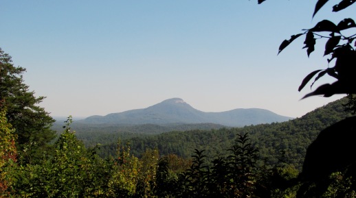
Looking southeast from the Dukes Creek Falls recreation area we see Mount Yonah in the distance about 6 miles away.
Wildcat Creek Road Corridor Facility
Following extensive work to repair road damage, the Chattooga River Ranger District reopened Wildcat Road, FS Road 26-1. The road has been cleared of the landslides. Both campgrounds 1 & 2 will have all amenities available. Camping fees are $10.00 per night, per site. More:
Angel Falls Trailhead Facility
The Angel Fall Trailhead is located in Loop 2, area 2 of the Rabun Beach Campground. This is mostly an easy trail with a couple of short, steep runs. The payoff is reaching the observation deck where you can enjoy Angel Falls.
Hemlock Falls Hiking Trailhead Facility
1 mile hike to waterfalls
Raven Cliffs Trailhead Facility
Hiking trailhead for Raven Cliffs Wilderness Area. The trail is a wilderness trail that we attempt to keep in the Wilderness chacater. Parking area consists of gravel delineated parking lot for 30 vehicles, interpretive kiosk, bear resistant garbage bins, vault toilet, and picnic tables. There is a $5.00 amenities fee per vehicle. Use Leave No Trace practices while hiking in this beautiful Wilderness Area.
Blue Ridge Ranger District Facility
The Blue Ridge Ranger District is the central part of the Chattahoochee National Forest. The district office is on the north side of US Highway 76, 1.5 miles west of the intersection of US 76 and US 19 in the town of Blairesville, GA.
Desoto Falls Recreation Area Campground
List of CampsitesOverview
Desoto Falls Recreation Area is a U.S. Forest Service Campground located approximately 2 hours North of Atlanta in the North Georgia mountains of the Chattahoochee National Forest. Desoto Falls offers visitors year-round recreation opportunities including camping, fishing, picnicking, and beautiful hikes to our nearby waterfalls. The campground is situated along Frogtown Creek with at an elevation of 2,080 feet above sea level, under a dense forest of deciduous and evergreen trees. 23 campsites are neatly arranged in two loops(upper and lower), with each loop having creek sites. The climate here is fairly mild and generally offers all four seasons, so it is a wonderful place to relax and experience each of these throughout the year. North Georgia is a playground for wildlife watchers. An abundance of Deer, Turkey, Bear and, small furbearers can be seen as well as bird watching. If you need to get away from the hustle and bustle of everyday life, come to Desoto Falls.
Recreation
The primary attractions to this area are the two waterfalls along Frogtown Creek, which lead from the wooden bridge across from the Host Site. This hike’s relatively short, kid-friendly distance and moderate elevation change make it one of North Georgia’s most popular waterfall hikes. .25 hike to lower falls and .75 to the upper falls. The trail hikes through several large exposed rock outcrops, beautiful rhododendron, and under the shade of several enormous old-growth pine trees with their wide trunks reaching high into the forest canopy above. The waterfall’s newly built observation deck makes a great spot for a mid-hike rest or picnic, and a great place to soak up the waterfall’s beauty.
Note: slippery rocks and fast moving water can be extremely dangerous! Please don’t climb, stand on, swim near, or jump from any waterfall.
Facilities
April 1st through October 31st, the campground has drinking water, warm showers, and flush toilets. The bathhouse has warm water outdoor showers connected to a flush facility, and is located on the lower loop. Hydrants are centrally located throughout the entire campground for your convenience. Centrally located in the upper loop is a vault toilet, which is a short walk from most campsites. NOTE: There are no hookups or a dumpstation avaliable in the campground. From November 1st - March 31st, fees are reduced because no water is available.
A dumpster is located near site #3 for all bagged trash to be disposed of. Amenities include a picnic area, picnic tables, fire rings, vault toilets, lantern posts, drinking water, flush toilets, water hydrants, water front sites, and garbage service.
Natural Features
Desoto Falls is part of the Chattahoochee National Forest and is located in a 650-acre (2.6 km2) area designated as the Desoto Falls Scenic Area. This area of the Blue Ridge Mountains in Georgia make up part of the Appalachian Mountain range stretching all the way to Canada. The hardwood coves, rushing waterfalls, creeks, and steep canyons are crisscrossed with abundant trails for hiking and fishing. During the Month of October, North Georgia’s trees put on a vibrant show. Summer's dark greens change to brilliant reds, oranges and yellows which makes the camping atmosphere amazing. Thousands make the yearly trek into the mountains near Desoto Falls for a front row seat.
Nearby Attractions
Just 1.5 miles north on 19/129 is Neels Gap and the Appalachian Trail. Drive just a short piece down to Byron Herbert Reece parking area on the left, and the Appalachian Trail can be easily accessed there. Nearby water falls to visit are are Helton Creek Falls, Dukes Creeks Falls, and Raven Cliffs Falls.
Just a short drive and located within the Chattahoochee-Oconee National Forests, the Brasstown Bald Recreation Area & Visitor Center is a great place to visit. It is the highest point in Georgia, rising 4,784 feet above sea level with a 360 degree view of four states.
Towns within a short drive to visit are Blairsville, Helen, and Dahlonega, GA
Toccoa River Sandy Bottoms Recreation Area Facility
This small campground is located along the banks of the Toccoa River just south of Blue Ridge, GA. This recreation area is the take-out for the 13.8 mile Toccoa River Canoe Trail. The recreation area offers camping, fishing and a canoe take-out.
Woody Gap Trailhead Facility

Located right off the scenic highway 60 where the Appalachian Trail crosses in the Blue Ridge District, visitors will find this awe-inspiring sight-seeing spot. With panoramic views of the North Georgia Mountains, a restroom facility, access to the Appalachian Trail and multiple areas for picnicking, this location promises to be one you won't forget. Don't forget your camera!
Helton Creek Falls Facility
The Helton Creek Falls Trail is an easy 0.2 mile hike. Please be advised there are many abrupt changes in grade along this short walk. Please stay on the trail and observation deck.
Lake Blue Ridge Recreation Area Facility
Lake Blue Ridge Recreation Area is located on the west side of Blue Ridge Lake in Blue Ridge, GA. The lake is a 3,290 acre Tennessee Valley Authority (TVA) reservoir. Blue Ridge Lake offers boating, skiing and fishing. The lake is home to bass, bream, catfish, perch and crappie, which makes the area popular with anglers.
Lake Chatuge Recreation Area Facility
No group activities
Waters Creek Day Use Area Facility
No services provided. Along the Dicks Creek, Waters Creek. Within the Chestatee WMA. Park in designated spaces only (opposite side of the road)
Oconee Ranger District Facility
Approximately 60 miles southeast of Atlanta, the Oconee National Forest is an easy drive and has much to offer those in the heart of the state. Boasting group campsites, the largest lake in the state, and recreational opportunities galore, the Oconee District is one not miss.
The swimming area at Lake Sinclair is a great summer time get away.
Scull Shoals Historic Site Facility
Explore over 10,000 years of history from early Native Americans to DeSoto (1540s) to Georgia's first paper mill in 1811. Take a gentle hike along the historic ruins of the old Scull Shoals Village on the banks of the Oconee River.
Redlands Recreation Area Facility
Just west of Greensboro,GA, on US 278 on the shore of the local's beloved Lake Oconee, visitors to the Oconee Ranger District find the Redlands Recreation Area. Families can enjoy the picnicking opportunities and acess to Lake Oconee by utilitizing one of three paved boat ramps in this secluded, yet scenic locale.
Cedar Creek Shooting Range Facility
The Cedar Creek Shooting Range in the Oconee National Forest is available for those interested in perfecting their target skills. The shooting range, which is in the Cedar Creek Wildlife Management Area, is just one of 17 shooting ranges currently available on public land in Georgia. The range provides 10 shooting stations with a target distance of 100 yards for rifles and pistols.
The Cedar Creek Shooting Range was first proposed in November 1998 by the Georgia Department of Natural Resources (DNR), Wildlife Resources Division. Support was also provided by the National Rifle Association, the Wild Turkey Federation, Quail Unlimited, and Putnam County.
LAKE RABUN BEACH RECREATION AREA Campground
List of CampsitesOverview
Cradled in the hills of the North Georgia Mountains overlooking beautiful Lake Rabun, this developed recreation area offers camping and hiking. Across the road, the lake offers plenty of water activities like swimming, boating, fishing, and ample opportunities to absorb the peaceful lake scenery.Recreation
At the rear of the campground, visitors will find the trailhead for the popular Angel Falls/Panther Falls Hiking Trail (trail length 1.7 miles). The swim area has two picnic tables, a roped-off area for swimmers and restrooms. A boat launch area and a fishing peer are near the swimming area, Lake Rabun is home to bass, bream, perch, trout and catfish. Check State regulations before you fish.
Facilities
The campground offers 80 campsites, 21 of these campsites have electricity and a majority have water. The restroom facilities include hot water showers. Each campsite includes a grill, picnic table and lantern post. The campground features one group campsite which includes five campsites. Firewood can be purchased at the campground. On-site camp hosts are available and the campground features a boat ramp and dump station.Natural Features
Lake Rabun is located in the Chattahoochee-Oconee National Forest, a place of exploration and wonder. This National Forest is rich in history and is said to be a hiker's paradise with its winding trails, scenic mountains and rolling hills.Nearby Attractions
Visitors to the campground can enjoy nearby Anna Ruby Falls; Brasstown Bald Recreation Area (Georgia's highest point); Minnehaha Falls; Panther Creek Falls; Tallulah Gorge State Park; Clayton, GA; historic Lakemont, GA; whitewater rafting on the Chattooga River.LAKE RUSSELL RECREATION AREA Campground
List of CampsitesOverview
This North Georgia mountain mecca has something for everyone; swimming, camping, picnicking, hiking, biking, fishing and boating.Recreation
The campground has easy access to the beach area, boat ramp, and the adjacent Lake Russell Wildlife management area. There are numerous hiking and biking trails including the Lady Slipper Trail, Lake Russell Foot Trail, Rhododendron Trail and Sourwood Trail. Swimming, fishing and boating opportunities abound.
Facilities
The campground offers 42 campsites for tents and RVs, however there are no hook ups. Campsites have a fire ring, picnic table and lantern hook. Water is available throughout the campground via water hydrants. Bathrooms are have flush toilets with showers.The campground area includes a grass covered beach and swimming area, picnic shelter/picnic area, biking, boat launch, fishing dock and dump station.
Natural Features
Nestled in the Chattahoochee Oconee Forest, 100-acre Lake Russell is an ideal summer camping location because of the cool mountain air. There are two paved campground loops for easy access to anything you might want to do here.Nearby Attractions
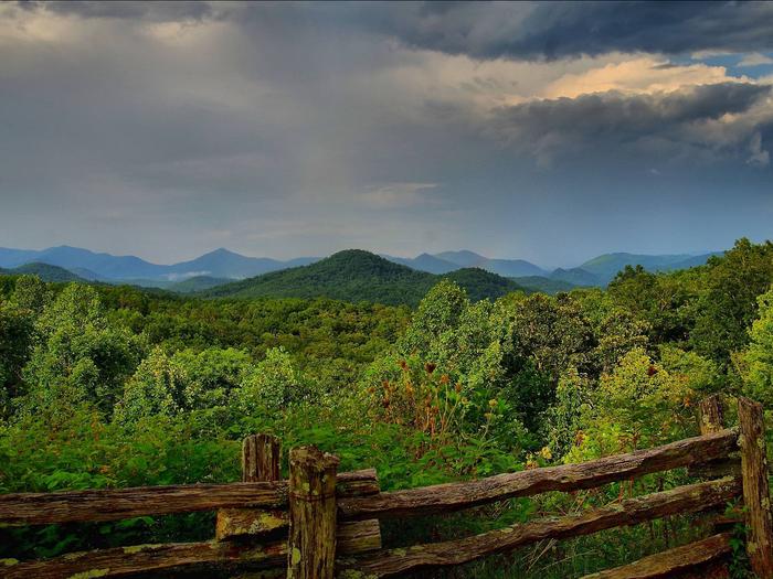
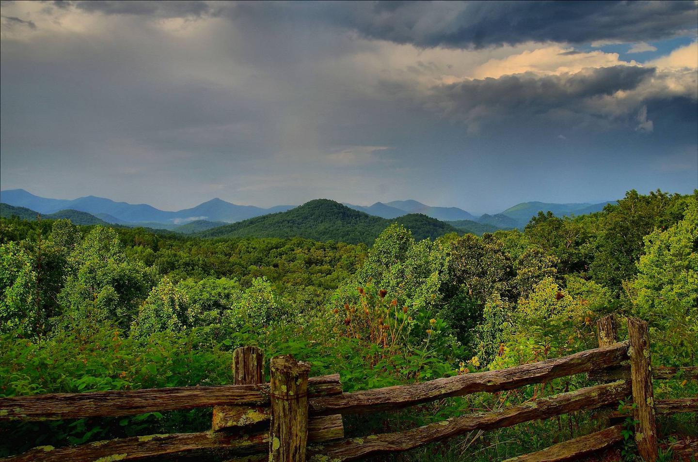
Visitors to the area can enjoy exploring Anna Ruby Falls; Brasstown Bald Recreation Area (Georgia's highest point); Cornelia, GA; and the Chenocetah Fire Tower.Russell-Brasstown National Scenic Byway Facility
Cool in the summer, mild in the winter, the Russell-Brasstown Scenic Byway encircles the headwaters of the Chattahoochee River and is surrounded by the Chattahoochee National Forest. The drive is ideal for viewing colorful wildflowers or dazzling fall color. Secluded valley views of Wilderness Areas abound along the way. The 40-mile loop follows State Highways 348, 180, and 17/75. Allow at least three hours driving time. Outdoor Fun in the North Georgia Mountains highlights the byway and popular mountain recreation stops.
